Navigating the Sunday Storm, Meteorologist Dan Guthrie Has Your Forecast
Feb 9, 2019, 10:24 PM | Updated: Feb 10, 2019, 8:21 pm

UTAH – Meteorologist Dan Guthrie has everything you need to know for the incoming winter storm.
Most of the state will be experiencing windy conditions Sunday.
The morning will be partly cloudy, but mostly uneventful.
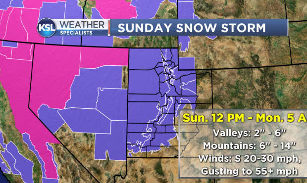
By the afternoon, the winds will start to ramp up out of the south around 20-30 mph with gusts in the 50 mph range possible.
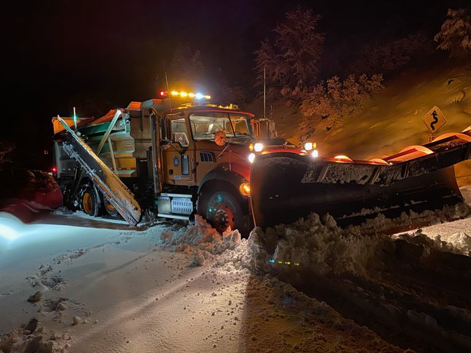
The cold front will begin to swing through the state in the afternoon, arriving in the I-15 Corridor between 2 to 5 p.m. Snow is expected to start at this time as well.
We will likely see an initial burst of moderate to heavy snow showers, which means road conditions will deteriorate very quickly.
Late afternoon and early evening will be the worst times to be on the roads.
Most of the shower activity will come to an end overnight.
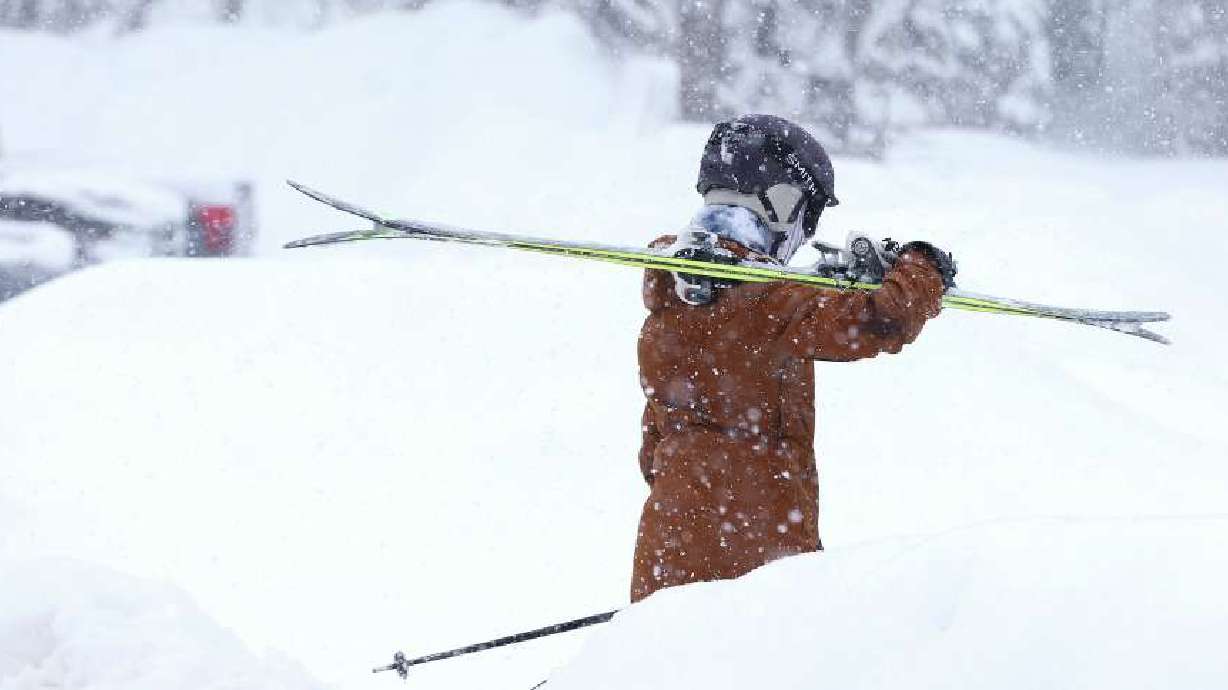
A few showers will linger into Monday and valleys will generally see between 2-6 inches of snow with half a foot to a foot for the mountains.
Tune in to KSL 5 TV at 4:30, 5, and 10 p.m. for the latest on conditions. We will also be updating throughout the day on our social media channels, and in-app.
We took requests and showed people a live look at their areas. This video covers a lot of the state.
Here is a look at driving conditions. Mobile 5 gave us a live look.