Snowpack 200% Above Average, Meteorologists Talk About Flood Danger
Jun 1, 2019, 7:02 PM | Updated: Jun 3, 2019, 3:22 pm

SALT LAKE CITY, Utah – Utah is having the second wettest spring on record so far and meteorologists say that means there’s a potential for flooding, especially this year.
Glen Merrill, a meteorologist with the National Weather Service, says our snowpack is abnormally deep, at nearly 200% above average.
“If we melted off on a really rapid rate it can be concerning for flooding,” said Merrill.
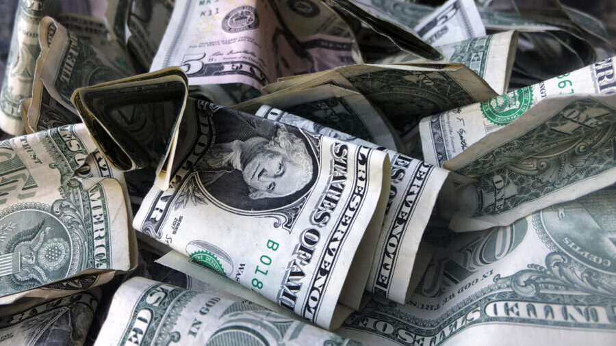
That’s what happened in 2010, when there were similar conditions; a very wet spring and a very quick warm-up. Flooding out of Little Cottonwood Canyon that year caused about $1 million in damage. Meteorologists say they don’t know what will happen yet this year, but we could find out soon.
“There are no forecasts anticipating flooding,” said Merrill. “It’s something we need to monitor over the next two weeks’ time though.”
In the meantime, he says the greater concern is the water itself and the danger it poses to anyone who comes too close.
“They’re fast, scary, dangerous. People die every year when we see flows that we’re anticipating,” said Merrill. “Within two minutes if you fall into this water, you’re hypothermic. It’s turbulent flow. It tosses you around so even if you’re a good swimmer you can’t get out.”
Merrill says the areas the National Weather Service is most concerned about are Big and Little Cottonwood Canyons, American Fork Canyon and the upper Provo River.