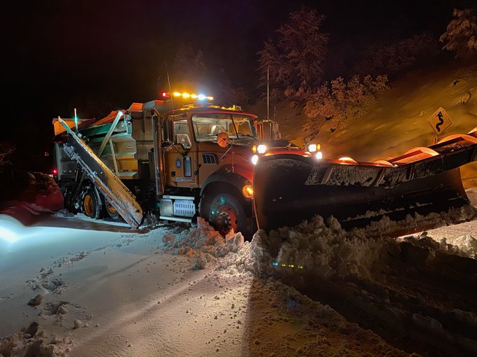
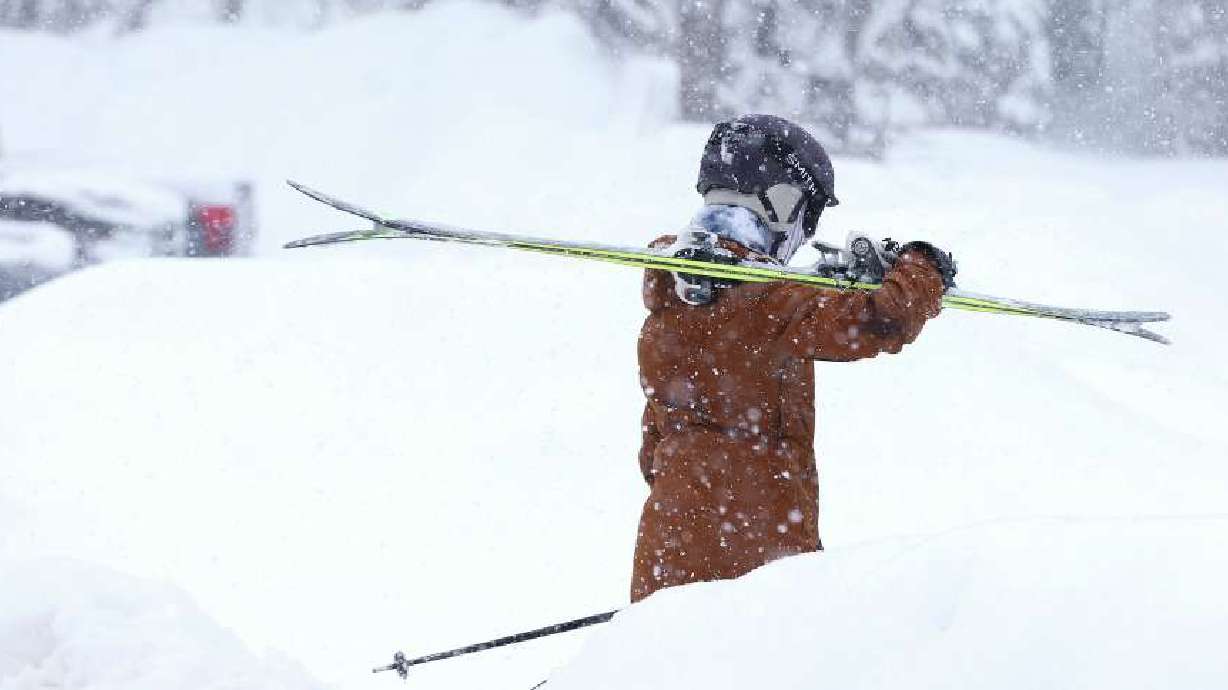
Rain, Snow On The Way; Lake Effect Could Cause Accumulation
Oct 9, 2019, 7:17 AM | Updated: 7:22 am

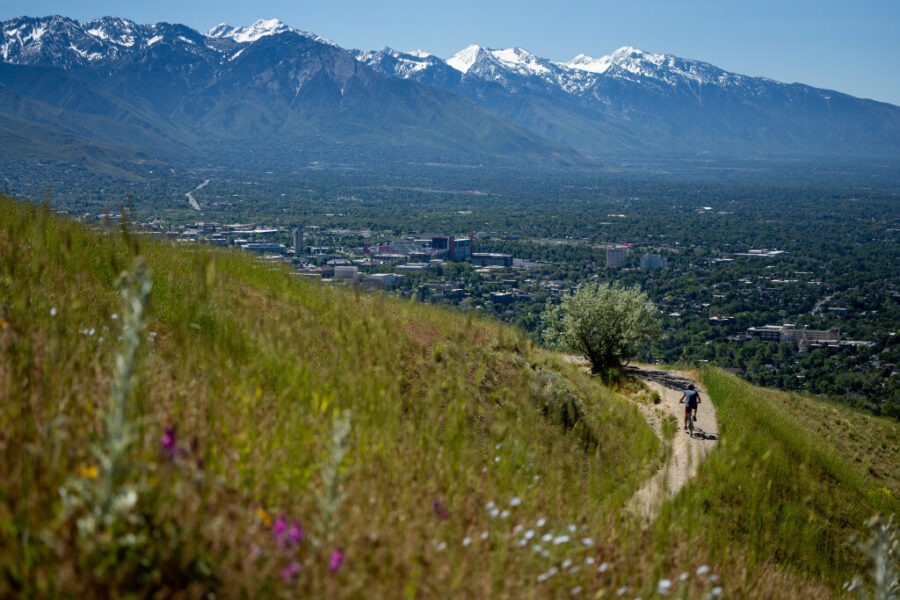
SALT LAKE CITY, Utah – Get your winter gear ready to go, Utah.
KSL TV meteorologist Grant Weyman says the Wasatch Front will see rain and snow showers Wednesday between 10 a.m. – 2 p.m.
“This is a super cold storm that’s coming in, folks,” Weyman said.
Here's how it looks today…… Get the winter coat! pic.twitter.com/ujHKqGXAHH
— Grant Weyman (@KSLweyman) October 9, 2019
Residents of northern Utah might be fooled as they wake up to warm temperatures, he said, but the cold air is on its way.
Morning commuters won’t have to worry about the storm, but anyone heading home early may have to deal with some snow during their drive. The storm won’t last into the evening, although Weyman said the temperatures will remain cold.
There’s also a possibility of lake effect snow Wednesday night and early Thursday morning for areas directly south of the Great Salt Lake.
Weyman said between 2 – 4 inches of accumulated snow is possible for areas in the Tooele Valley and the south end of the Salt Lake Valley.
WHAT??? Lake effect snow already? YES. Snow and accumulation possible LATE tonight south of the lake. pic.twitter.com/LCjrh8UGQA
— Grant Weyman (@KSLweyman) October 9, 2019
Wednesday’s wet weather is also kicking off a few days of freezing temperatures. A hard-freeze warning is in effect for many areas in the state over the next few days.
By Saturday, though, Weyman says the state will be back to higher temperatures, with 60 degrees for the Wasatch Front.