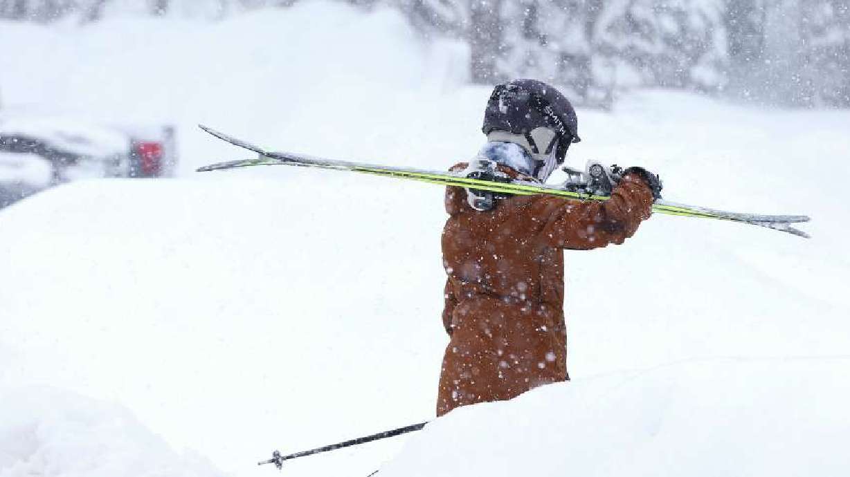
A Big Storm Is Still Coming To Disrupt Your Thanksgiving
Nov 27, 2019, 12:23 PM | Updated: 12:24 pm
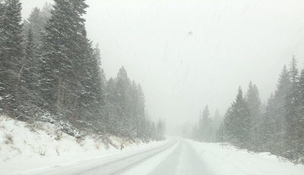
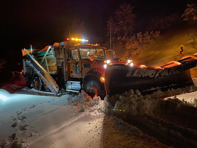
Road restrictions are in place in Big Cottonwood Canyon on Nov. 27, 2019. (Photo: Jed Boal)
(Photo: Jed Boal)
SALT LAKE CITY, Utah – The National Weather Service on Tuesday put a winter storm warning into effect beginning 4 a.m. Wednesday.
When 4 a.m. came around, higher elevation areas such as Summitt County started seeing activity, but lower elevations didn’t see much at all. It wasn’t until later in the morning that areas like Weber County started seeing some serious accumulation. Salt Lake City didn’t start getting snow until approximately 11 a.m., and Utah County was still, more or less, dry.
So what happened?
The NWS spent Wednesday morning answering questions on Twitter about why people weren’t immediately seeing the 6 – 12 inches that was promised to fall before Saturday afternoon.
“If you were hoping to wake up to a winter wonderland across the Wasatch Front this morning, you probably have several more hours to wait,” according to a tweet sent just before 9:30 a.m.
Where's the snow? If you were hoping to wake up to a winter wonderland across the Wasatch Front this morning, you probably have several more hours to wait. #utwx #utsnow pic.twitter.com/NZkmPBVw5V
— NWS Salt Lake City (@NWSSaltLakeCity) November 27, 2019
According to the NWS, the heaviest snowfall stalled north and west of a large portion of the Wasatch Front during the morning hours. This meant high accumulations in high elevation areas such as Cache Valley, the Northern Wasatch Front, and the Wasatch Back. However, lower elevations experienced just a few morning showers.
That began to change as the day wore on, and the brunt of the storm is expected during nighttime hours.
According to KSL Weather, the Salt Lake City area will see the chances of snow jump overnight. For the Utah County area, there is only a 10 – 20% chance of snowfall until 9 p.m., when that number jumps to 50%. Provo should start seeing the most snow in the early hours of Thanksgiving Day, though.
Look at downtown OGDEN…. The snow really coming down here. pic.twitter.com/ojUBezaykO
— Grant Weyman (@KSLweyman) November 27, 2019
In fact, the snow will be creating a white Thanksgiving for many areas in northern Utah. In Ogden, Logan, Salt Lake City and Montpelier, there’s a 60% chance of snow on Thursday. In Provo, Evanston and Richfield, it’s 70%. In Park City, Cedar City, Vernal and Price, there’s an 80% chance residents will be eating turkey surrounded by snow.
St. George will be giving thanks in the rain, with 80% chance of moisture that day. Both Manti and Moab have a 60% chance of rain mixed with snow.
The total accumulation from these storms ranges from 6 inches in the valleys all the way up to 3 feet in the mountains.
“Keep in mind, those are amounts we are expecting by Saturday,” KSL meteorologist Grant Weyman said about the expected snowfall. “… By the weekend, the storm clears and better travel weather is expected.”

