Incoming Storm Could Bring A White Christmas — And A Wet Christmas Eve
Dec 23, 2019, 1:29 PM | Updated: 1:34 pm
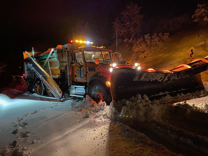
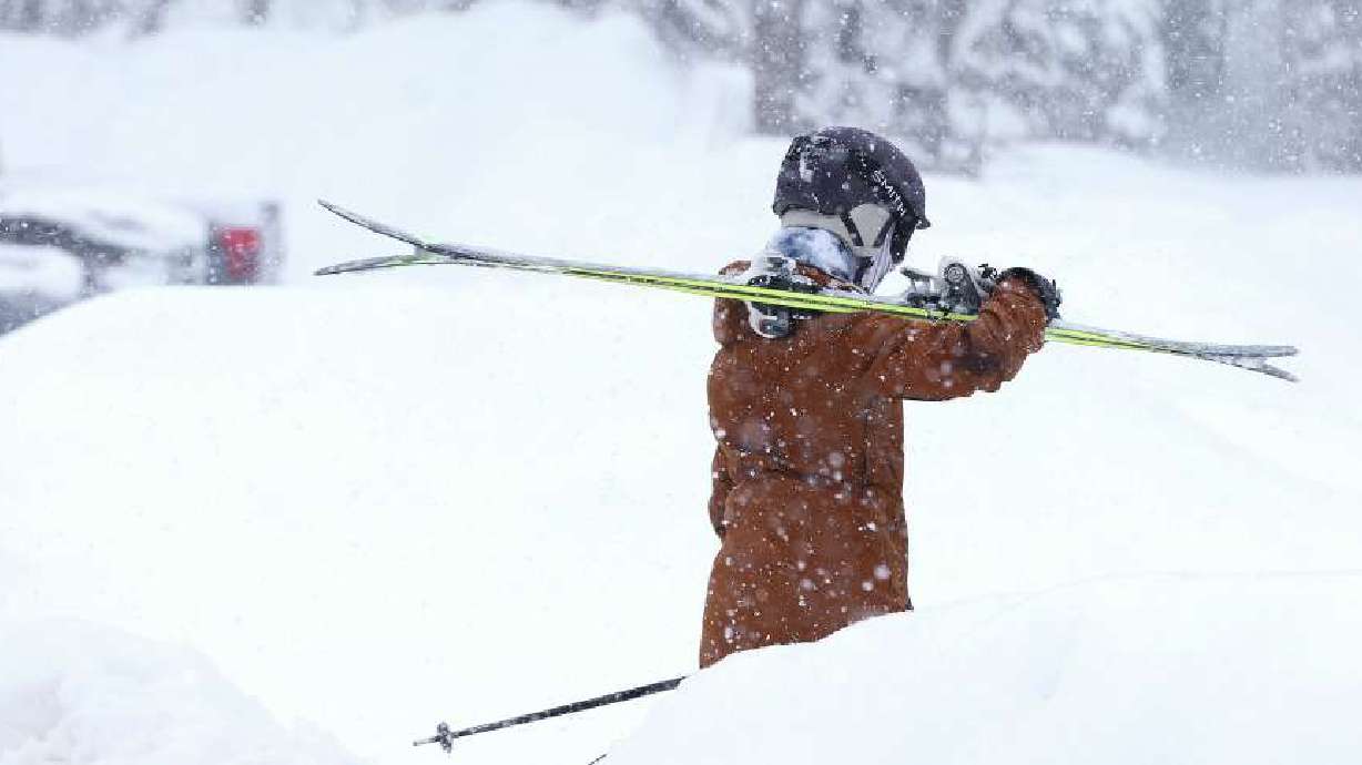
FILE: Snow at Eagle Point Resort on Oct. 4, 2018. (Photo: Eagle Point)
(Photo: Eagle Point)

SALT LAKE CITY, Utah – If you’re in Utah this holiday season you’ll most likely get a wet Christmas.
Some areas could even see snow.
According to the National Weather Service, a series of storm systems will mean periods of rain and snow across the state Tuesday and Wednesday. Those in the central areas of the state will see the biggest impact.
❄️❄️ Dreaming of a White Christmas? There's a chance, particularly over central and southern Utah. A series of storm systems will impact the area beginning Christmas Eve. #utwx pic.twitter.com/uCPirA0bOR
— NWS Salt Lake City (@NWSSaltLakeCity) December 22, 2019
“The best coverage of precipitation will initially be over central and southern Utah Christmas Eve and Christmas Day before shifting northward later in the week,” according to the NWS.
KSL meteorologist Grant Weyman said snow will start sticking in mountain areas Dec. 24, but lower elevations will see mostly rain. Those showers are expected to slowly turn to snow along the Wasatch Front, with an expected accumulation of between 1 – 3 inches by the afternoon.
“On Christmas Day it gets colder,” he said. “That’s when we expect widespread snow.”
That holiday storm clears out the day after, but temperatures will remain in the 30s through the end of the week for the Wasatch Front. For the southern end of the state, temperatures are expected to be in the mid 40s until Sunday, when the high should be around 50 degrees.