First Significant Snow Of 2020 Could Happen On New Year’s Day
Dec 29, 2019, 1:19 PM
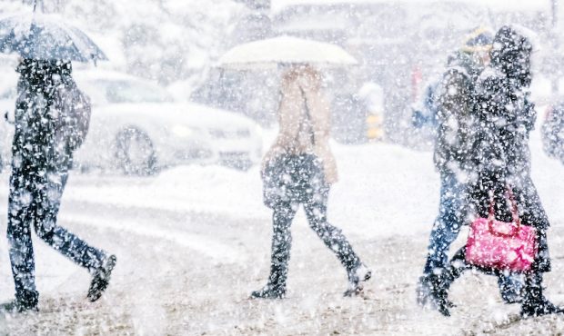
FILE: Getty Images

SALT LAKE CITY, Utah – A developing storm system could produce 2020’s first significant snowfall on New Year’s Day, according to the National Weather Service.
The storm is expected to affect the western two-thirds of Utah and southwest Wyoming.
In a hazardous weather outlook notice Sunday, the NWS noted that a storm on Jan. 1 “will have the potential to produce significant snowfall across much of the area through Thursday.”
In Salt Lake City, there’s an 80% chance of snow Wednesday, with more snow likely throughout the night and into Thursday. A total accumulation of 2 – 4 inches is possible.
Even the St. George area has a slight chance of snow — 20% — on New Year’s Day, according to the National Weather Service.
For New Year’s Eve, the majority of the state will see either mostly cloudy or partly cloudy skies, with high temperatures in 30s and lows in the 20s.
As portions of Utah will be experiencing snow, other areas of the country could be hit with blizzard conditions.
The NWS Prediction Center shows that heavy snow is expected in areas of the Rockies to the upper Midwest and Northeast in the final days of 2019.
“A winter storm will intensify as it shifts across the Plains and into the Upper Midwest this weekend,” according to the NWS.