Winter Storm Warnings Issued Across Utah
Feb 1, 2020, 6:28 PM
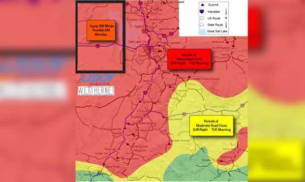
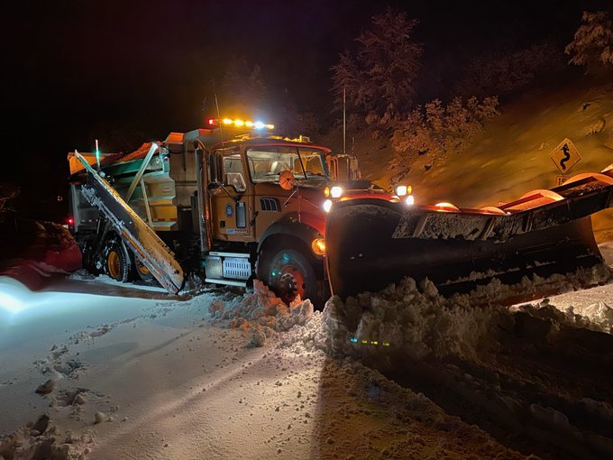
Heavy road snow is expected across Utah between Sunday night and Tuesday morning. (UDOT)
(UDOT)
SALT LAKE CITY, Utah – Winter storm warnings have been issued for much of Utah as a storm will move into the Beehive State and impact morning commutes on Monday.
Some of the warnings go into effect late Sunday night while others begin at midnight. Valley locations along the I-15 corridor could see four to eight inches of snowfall between Sunday night and Tuesday morning.
The KSL weather team said to expect snow during Monday’s morning commute and officials with the Utah Department of Transportation said periods of heavy road snow are expected through early Tuesday.
HEADS UP! A storm is on the way for Monday… and it looks like it will have more punch to it. Expect snow for the morning drive… stay with the KSL Weather app, and KSL5 this weekend… for more details on the storm. pic.twitter.com/qOjzvjojuX
— Grant Weyman (@KSLweyman) January 31, 2020
Benches could see up to 12 inches of snow while mountain passes, especially north and south of I-80, could see eight to 16 inches of snow.
Meteorologists expect higher snowfall totals for the Salt Lake and Tooele valleys. Over a foot of snow is expected to hit near Tooele and officials said over 20 inches could fall before Tuesday morning.
Salt Lake City could see five to nine inches of snow with this storm.
Road Weather Alert: Heavy road snow across much of UT SUN night through MON. More info can be found at: https://t.co/4P1gO1U0Gg #utsnow #utwx @UtahTrucking pic.twitter.com/fT90Q69BPG
— UDOT Traffic (@UDOTTRAFFIC) February 1, 2020
St. George will see an almost 30-degree drop between Sunday and Monday while cities across northern Utah could see highs drop by 25 degrees.
Cedar City could see six inches of snow.