USU Researchers Creating State Fire Atlas For Prevention Efforts
May 27, 2020, 9:41 PM | Updated: 9:51 pm
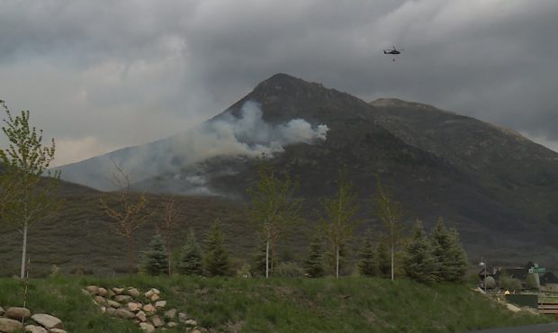
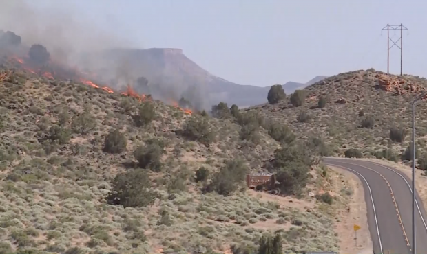
LOGAN, Utah – There have been 200 wildfires so far in 2020, including the Saddle Fire in Wasatch County that investigators said was started by a child and the Anderson Junction Fire in Washington County that was started by a vehicle dragging a sparking chain.
Those fires burn in Utah’s many types of unique brush, climate and terrain conditions and there is no single best approach for managing it all.
That is why a team at Utah State University’s Forestry Institute is turning to the past to create the state’s first fire atlas.
95% of the wildfires that have occurred in Utah so far this year have been human-caused. #WildfirePrevention #ResponsibleRecreation
— Utah Fire Info (@UtahWildfire) May 27, 2020
“What we want to do is help steward our landscapes,” said USU associate professor Jim Lutz.
He is sorting through about forty years of satellite images for the project.
Lutz and Megan Nasto are among those at the institute who are looking at what can be learned from all those previous wildfires.
“We are really interested in analyzing and understanding small fires in the state of Utah because many prescribed burns that managers like to put on their landscape are small in size,” said Nasto, a manager at the Utah Forest Institute.
While the big raging fires need to be contained quickly, Lutz said looking at the more frequent small fires can help understand how to manage Utah’s wildlands better.
USU associate professor Jim Lutz.
“We want to help managers understand how these smaller fires are likely to burn and to help them plan more prescribed burns.”
They are putting an extra focus on forests which is where the most brush is burned.
“We have enough fires, if we look at the whole state, to be able to say definitive things about different forest types,” Lutz added.
The hope is the mountains of data can make fire managers more proactive in knowing where prescribed burns might be needed and ultimately resulting in fewer of those big, raging forest fires.
“We want to give them more tools to help them steward our lands even better in the future,” Lutz said.
The institute plans to send out undergraduate researchers to burn scars across the state for closer study this summer.
Lutz said the fire atlas will be available online once it’s completed.

