USU Researcher Tracking Mosquitoes With Satellite Photos
Mar 24, 2021, 6:29 PM | Updated: 8:44 pm

LOGAN, Utah – A researcher at Utah State University has started tracking disease-carrying mosquitoes with the help of satellite photos.
The high-tech photos, combined with good old-fashioned research on the ground, can predict the pests’ movement.
It won’t be long before the mosquitoes start hatching. They are always annoying, but some are worse than others.
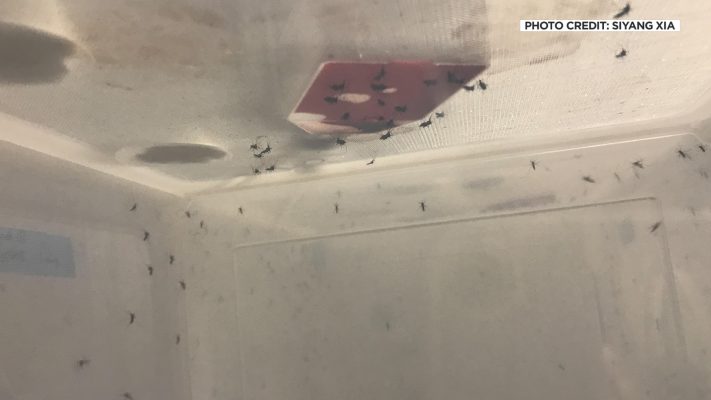
“For this paper, we’re looking at Aedes aegypti,” said Norah Saarman.
She said the Aedes aegypti can bring a lot of dangerous and widespread diseases like dengue fever, yellow fever, chikungunya and the Zika virus.

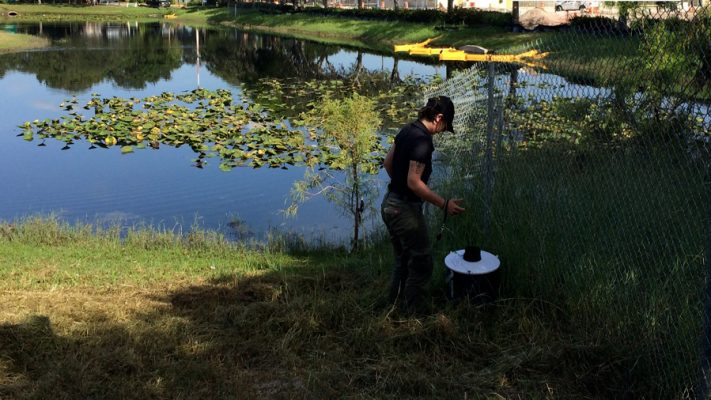
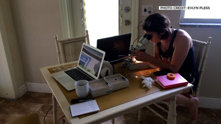
Saarman has examined their migration pattern.
Along with researchers at UC Davis and Yale, the team collected and mapped genetic data, something Saarman described as a family tree for mosquitos.
“And if we know where the ancestry is tracking across the landscape, then we can much more efficiently plan exactly where we do those releases or where it is safe to try it out,” she said.
Meaning where to try out treatments that have been effective in controlling mosquito populations and protecting humans from disease.
The ancestry data is combined with one more factor. “So these black dots are where we’ve collected mosquitos,” Saarman said.

NASA satellite map. (Mike Anderson/KSL-TV)
The dots are from satellite maps, mostly from NASA, that share data like rainfall, habitats and the impact of humans on the landscape. Unfortunately, a lot of the pests migrate by traveling with us.
“We’re really excited because the method was so successful — like, we got such a good measure of predictability,” Saarman explained.
The process has been about 83% accurate so far.
As of now, the Aedes aegypti has not made it into Utah, but it is nearing the southern border.