NTSB Releases Preliminary Report On Plane Crash That Started Morgan Canyon Fire
Jul 2, 2021, 5:07 PM | Updated: 5:37 pm
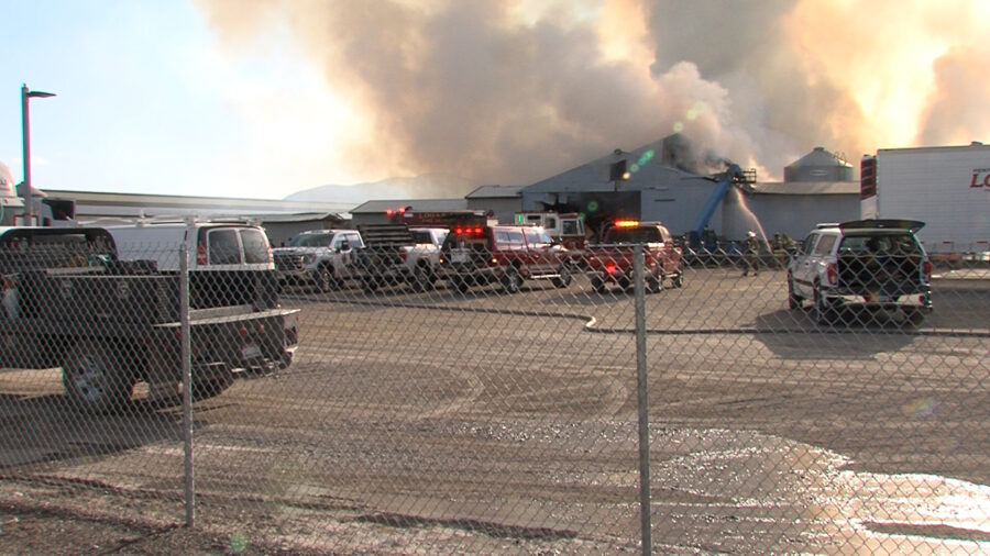
The Morgan Canyon Fire. (Dave Vickers, Wasatch Front area fire management officer for Utah Fire and State Lands)
(Dave Vickers, Wasatch Front area fire management officer for Utah Fire and State Lands)

SALT LAKE CITY – The National Transportation Safety Board released a preliminary report on the plane crash last month that started the Morgan Canyon Fire.
The report said the pilot was a woman flying with her six-year-old granddaughter to El Centro, California as a Father’s Day surprise for the pilot’s father. Both passengers died in the crash.
The report said the pilot left her home airport at Havre, Montana at 4 p.m. on June 17. A friend told the NTSB that they planned to fly overnight to El Centro to avoid heat and turbulence. The plane stopped for fuel in Idaho Springs with another stop planned for Cedar City and a scheduled arrival at El Centro by 6:00 a.m.
The pilot planned to get a couple of hours of sleep in Cedar City before finishing the flight.
The NTSB report said the plane reached the northern edge of The Great Salt Lake around 10:24 p.m.
NTSB issued Friday the preliminary report for its ongoing investigation of the fatal, June 17, 2021, crash of a Piper PA-28-140 near Rush Valley, Utah. Download the report PDF at; https://t.co/x3L15jUmq1
— NTSB_Newsroom (@NTSB_Newsroom) July 2, 2021
“For the next 20 minutes, the target followed a meandering counterclockwise radial track around SLC,” the report said.
By 10:45 p.m., the plane reached the Stansbury Mountains.
“The target (plane) crossed over the northern section of the range at an altitude of 8,200 ft, clearing terrain by about 400 ft vertically,” the report said.
The flight continued south along the corridor over the foothills of the mountain range “where at one point it came within 100 ft vertically and horizontally of terrain,” according to the report.
The plane then turned directly through a valley and toward terrain, the report said.
“The target (plane) was passing to the east of Desert Peak, the highest point in the range (11,031 ft), when it began a right turn directly through a valley and toward terrain. The last target (radar ping) was recorded at 2253:10 (10:53 p.m.) and indicated that the airplane was traveling on a heading of 221° about 0.75 miles short of the 10,330 ft peak, at an altitude of 8,200 ft, and airspeed of 98 knots.”
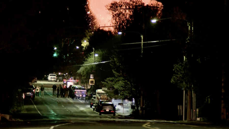
Around 11:30 that night ,911 operators answered a call about a fire in the Stansbury Mountains.
Early the following morning, friends and family reported that the plane was missing and did not arrive in California.
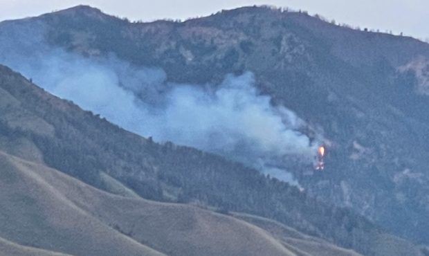
Forest Service firefighters found the wreckage a few hours later when they responded to the resulting fire in Morgan Canyon.
The report said the crash was found in rough terrain at the same elevation the last radar indication.