Winter weather advisory in effect as second storm hits northern Wasatch Front
Dec 16, 2021, 7:14 AM | Updated: 7:29 am
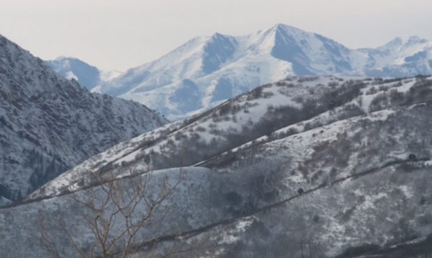
(KSL TV)
(KSL TV)
SALT LAKE CITY — Another storm will hit the northern Wasatch Front in waves, and a winter weather advisory is in effect for the area through Thursday night.
KSL meteorologist Kevin Eubank said the storm will produce snow during the morning commute and could impact the evening commute.
“Temperatures will be cold, with highs in the 30s and lows in the 20s. Look for a few inches (of snow) in the northern valleys, 3″-6″ on the benches and 6″-12″ in the Cottonwood Canyons,” he said.
The storm will impact morning commuters, particularly from Ogden northward.
— Grant Weyman (@KSLweyman) December 16, 2021
Officials with the Ogden School District said they plan to hold classes as normal Thursday.
With no (or very little) snow falling at the moment we plan to have a regularly scheduled start at all locations today. We will continue to monitor conditions throughout the day. Please take your time and travel safely.
— OgdenSchoolDistrict (@ogdensd) December 16, 2021
KSL meteorologist Grant Weyman said Wednesday’s storm dropped 8.5″ inches of snow on Salt Lake City. By comparison, Utah’s capital saw 8.3″ of snow between November 2020 and January 2021.
He added Thursday’s storm will arrive in waves, and it will produce lighter snow — not the dense, heavy snow most of the state saw Wednesday.
UDOT plow drivers continue to clear our roads, please give them room! (Thank you plow drivers!!) https://t.co/fyk8q2GvJS
— Shara Park🌹 (@KSLSharaPark) December 16, 2021
State troopers responded to approximately 250 crashes between Tuesday and Wednesday night, and snowplow drivers worked through the night and then all day to clear roads across the state.