Snowstorm to move in during afternoon commute
Nov 28, 2022, 11:03 AM | Updated: 7:19 pm

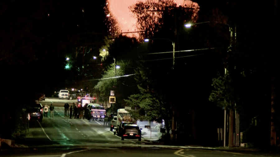
SALT LAKE CITY — Utah’s weather is kicking off the holiday season right with snow in the forecast. A winter storm with blowing snow moved into the northern Utah valleys Monday afternoon.
“The big story is the timing as a band of heavy snow will likely set up over northern Utah during prime commute time — between 4 and 6 p.m. when many drivers are on the road,” said KSL meteorologist Kristen Van Dyke. “The heaviest snow looks to be right over Salt Lake county at that time. This means low visibility and snow quickly accumulating on roadways.”
The winter storms always bring dicey conditions on the roads.
We’re approaching 90th and saw this UDOT sign saying 85 min to Lehi Main Street. Ouch!! 🥶 @KSL5TV #Utah #ksltv pic.twitter.com/La4mMYU2D4
— Shara Park ✨ (@KSLSharaPark) November 29, 2022
The Utah Highway Patrol said the number one thing drivers should do to stay safe in a winter storm like this is to slow down.
“People just get going too fast and then when an emergency situation arises and they need to stop quickly, they’re going too fast and aren’t able to stop before they either spin and lose control, hitting the wall or hitting another vehicle,” Sgt. Cameron Roden of the Utah Highway Patrol said.
Slow down and move over for police and other cars on the side of the road.
CURRENT CONDITIONS: Snow is falling but traffic is still moving along at the I-15/I-215 interchange in Murray.
The winter storm is expected to impact the evening commute with heavy snow at times.
Stick with @KSL5TV @kslnewsradio @KSLcom for updates #KSLweather pic.twitter.com/LnITS75qNi
— Ladd Egan (@laddegan) November 28, 2022
“A lot of times we forget that we need to make sure we increase our following distance during times like these as well,” Roden said. “Because if that vehicle in front of us has to stop – our traction isn’t as good and we end up sliding into the back of other cars.”
Also, avoid using cruise control in snowy and slick conditions and there’s more.
“Make sure you check your tires,” Roden added. “We don’t want you out there on bald tires in conditions like this. Make sure your windshield wipers are doing a good job of clearing off the snow.”
Where we expect today’s snow storm to impact the roads.👇 Please drive carefully tonight and tomorrow morning. We’re expecting some snow to stick to the roads. pic.twitter.com/fOnGUhHeei
— Utah DOT (@UtahDOT) November 28, 2022
As for tomorrow morning’s commute, Roden said these conditions bring a good chance for black ice.
Van Dyke said the storm’s intensity should not last very long.
A winter storm moves in today with a potential for heavy snow for the afternoon commute. Tune in to @KSL5TV for what you need to know. #utwx pic.twitter.com/q7UeKRQ821
— Kristen Van Dyke (@kvandykewx) November 28, 2022
Mountains could see up to a foot-and-a-half of snow. Southern Utah won’t see much precipitation but will have a drop in temperatures.
“Snow diminishes after 7 p.m. (Monday,) but occasional snow showers will move through overnight with possible lake effect by early morning. Valleys could see 1-4 inches with locally heavier amounts on benches,” Van Dyke said.
Temperatures will be below average around the state Tuesday and Wednesday.
Drivers are advised to leave work earlier if possible and drive slowly in snow conditions.