Snow showers moving out of Utah, frigid temperatures next
Dec 13, 2022, 1:48 PM | Updated: 5:29 pm
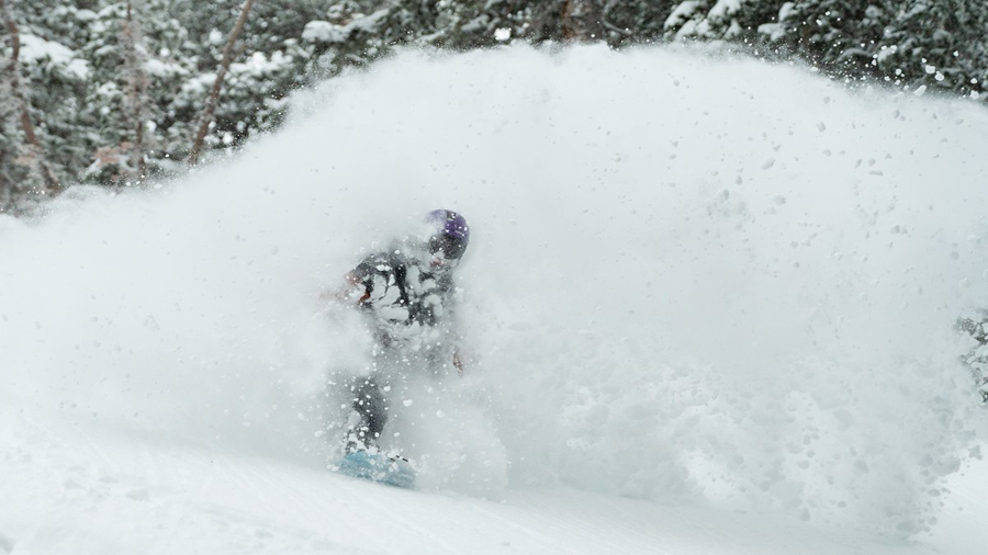
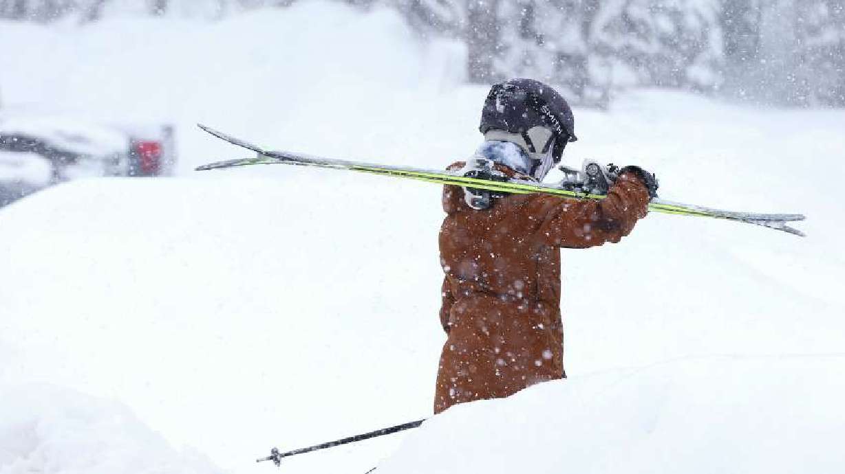
Snowbird ski area said it has 12" of new snow since Monday morning. (Snowbird/Twitter)
(Snowbird/Twitter)

SALT LAKE CITY — Scattered snow will continue across Utah through Wednesday, but as the storm moves out, much lower temperatures will move in.
The low-pressure system that kept snow falling from Sunday through Tuesday will finally skirt off to the east.
“Cold ground temperatures will allow for the lightest of snowfalls to cause trouble on the roadways over the next 24 to 36 hours across the Wasatch Front, KSL meteorologist Mathew Johnson said. “Very cold air then filters in behind the low for the rest of the week with highs in the 20s!”
🌨Here's a look at the expected snowfall across the Wasatch Front through tomorrow. #utwx pic.twitter.com/zEOhCdw3TZ
— NWS Salt Lake City (@NWSSaltLakeCity) December 13, 2022
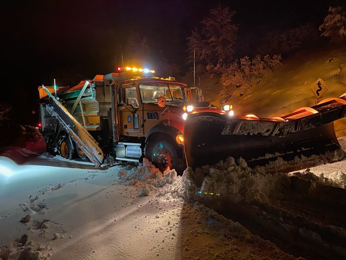
The Utah Department of Transportation said state Route 190 and state Route 210 would be snow-packed and icy through Tuesday.
There’s been light to moderate snowfall on the east side of the Salt Lake Valley and at the mouth of Parleys Canyon most of Tuesday. It was just enough to keep the plows at work.
In most areas, plows did not have trouble keeping up.
Johnson tweeted impressive snow totals Tuesday with Alta getting 29 inches. Snowbird, Snowbasin, Solitude, Brighton, and Brian Head also received more than 20 inches. Johnson said the Salt Lake City airport received nearly six inches.
Storm totals so far! Bring the snorkel today! #utwx ❄️🤿 pic.twitter.com/iNH9HgMEyP
— Matthew Johnson (@KSL_Matt) December 13, 2022
We want to see the snow as you see it! Send your photos here.