National Weather Service gives peek inside operations as next storm heads for Utah
Feb 26, 2023, 10:06 PM | Updated: 10:22 pm

SALT LAKE CITY — The National Weather Service has been busy staying on top of Sunday evenings storm, tracking the forecast all day and night in their Salt Lake City weather center.
Alex DeSmet stood in front of four computer monitors, each with colorful maps and models. He looked closely at one map, showing bright greens and blues of a heavier-banded weather system approaching northern Utah from the northwest.
“That’s the band that’ll start causing slick conditions too, I’m sure, in some of the valleys,” DeSmet said, hovering his mouse over the storm. “So far, some of the worst conditions have been in Sardine [Canyon] summit.”
DeSmet, a National Weather Service Meteorologist, was one of two staffing computers at the NWS building Sunday.
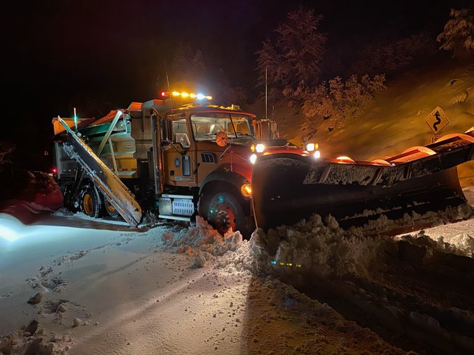
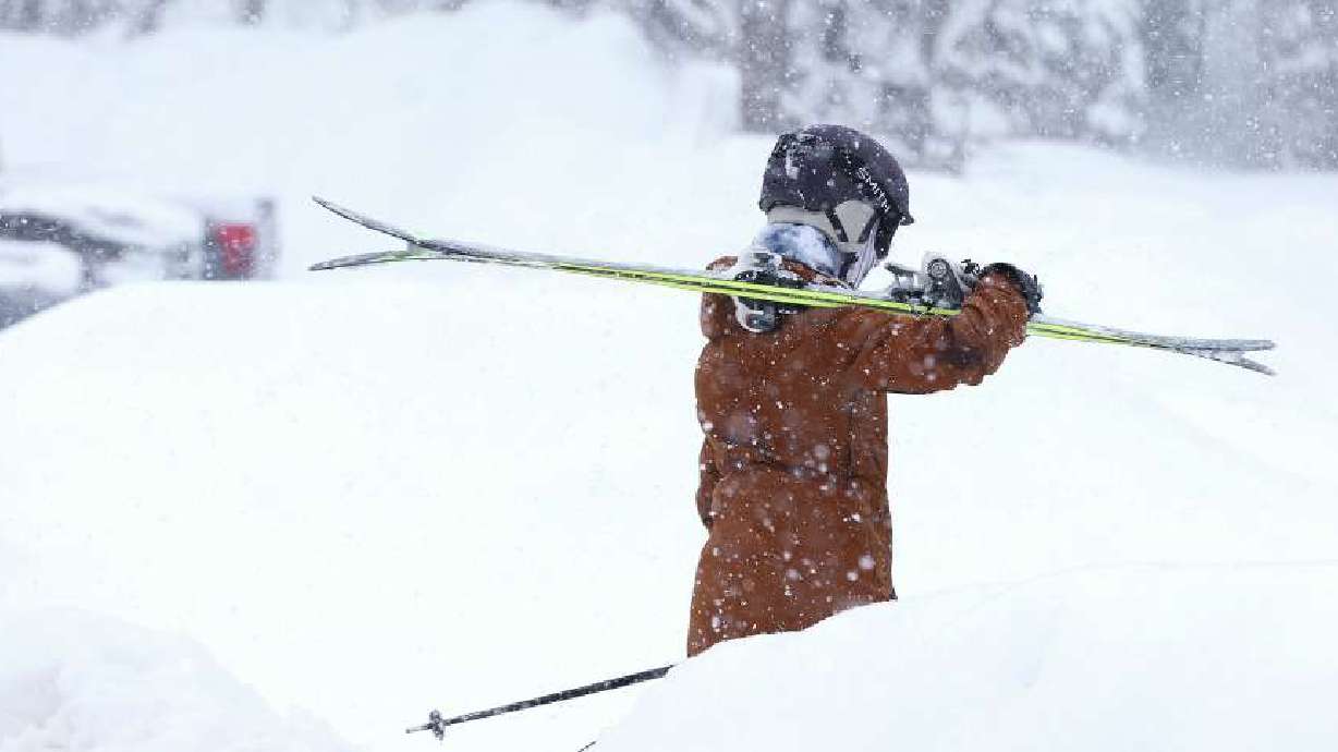
They each constantly watched and calculated where the storm was headed, calculating how much snowfall it could bring. They predicted that up in the mountains, the Wasatch Back, and Ogden Valley could get 24 to 30 inches of snow. The northern Wasatch benches, he said, could see a foot of snow through Wednesday.
“We’re forecasting up to 30 inches there,” DeSmet said, looking at his computer of the Eden area. “And they’ve already got waist-deep snow.”
At one point, the phone rang. DeSmet’s colleague answered. It was a school in Utah County asking for the latest predictions for the Monday morning commute around American Fork. He let the caller know that models were not showing too much in the way of accumulation in that area.
🌨️👇(1/3) Winter Storm Warnings:
📍Mountains/mountain valleys of northern Utah
🕑Through 5 PM Wednesday
❄️🌬️18-36" w/winds gusting up to 50 mph in the mountains
❄️🌬️12-24" Ogden Valley w/the Wasatch Back seeing lesser amounts of 8-14" & winds gusting near 40 mph. #utwx pic.twitter.com/gr2YxEyy4e
— NWS Salt Lake City (@NWSSaltLakeCity) February 26, 2023
DeSmet said they keep school districts updated and have been coordinating with UDOT. They also provide forecasts for nine Utah airports and an airport in Wyoming. The NWS sends an updated forecast every three hours for Salt Lake International Airport.
“We’re working to assess just how impactful a storm is going to be on the people that depend on us because we want to make sure that people are prepared for weather through all seasons,” DeSmet explained. “So we’re looking at things like, how heavy will the snow be, where will it fall, when will it fall, and how much will we get in particular locations, to get the word out and help people plan as best as they can for the upcoming weather event.”
Based on what they’re tracking, he predicted that commutes will be slick in some areas Monday and Tuesday morning. They’ve issued advisories for the northern Wasatch front, including regions like Ogden, Brigham City, Logan, and Bear Lake.
The NWS issued warnings for the Wasatch Mountains north and south of Interstate 80 and the Wasatch Back, which includes Park City and Heber and the Ogden Valley.
“Those mountain routes going up to the Cache Valley, like Sardine Summit, the Cottonwood Canyons, we’ll see the snow will sink southward all across the Wasatch tonight, and we’ll see some snow showers as well in Salt Lake and Utah counties– but not as much,” DeSmet said.
They want people to be prepared, whether it’s for shoveling driveways, getting to work, getting to school, or simply understanding what to expect.
“The weather never stops,” he said. “So we’re here to try to keep people in front of it.”