Utahns wake up to thundersnow, snow squalls as storms continue
Feb 28, 2023, 5:47 AM | Updated: 9:06 am
(Matt Johnson/KSL TV)
(Matt Johnson/KSL TV)
SALT LAKE CITY — Several parts of Utah were hit by snow squalls and multiple residents reported hearing and seeing “thundersnow” overnight.
Rain and snow led to a slick commute Tuesday morning, with parts of Interstate 70 and U.S. Highway 189 in Provo Canyon requiring traction devices for all vehicles.
Snow on repeat!
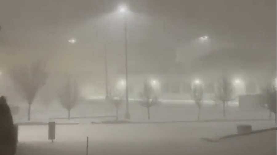
We’re live in Farmington, where it’s hard to see and roads are slick and snow packed. Don’t forget the wind! @KSL5TV pic.twitter.com/d23lnTYY2M
— Karah Brackin (@KB_ON_TV) February 28, 2023
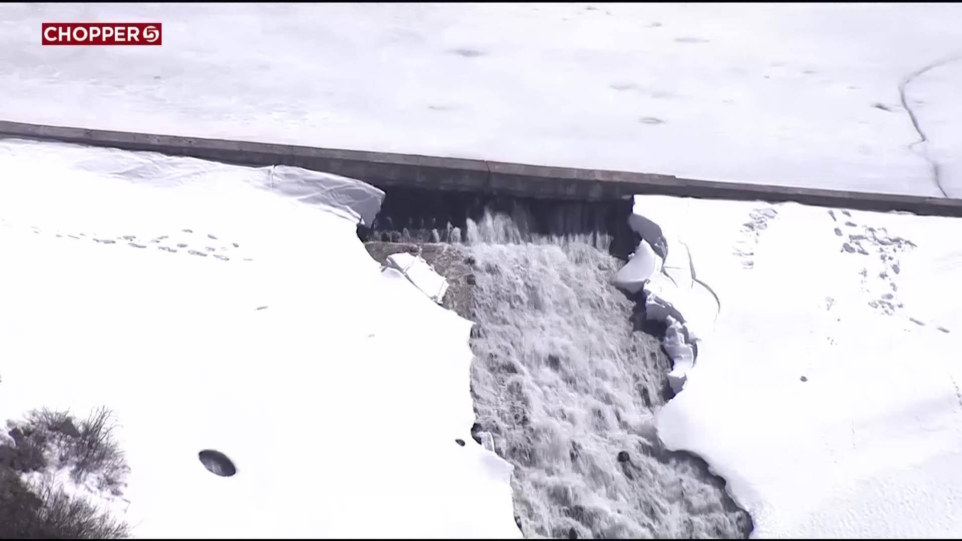
Large parts of I-15 were also hit by snow squalls — intense bursts of snow and winds with whiteout visibility and rapidly deteriorating road conditions — early this morning.
The National Weather Service said it received several reports of thundersnow, which happens when “shallow layers of unstable air lead to enhanced upward motion, increasing snow growth and causing enough electric charge separation for lightning.”
A bit of a break from the snow is in the cards for many Utahns today, but the snow returns Wednesday. Meteorologists say this final round of the three-day storm will really impact central and southern Utah, along with the Wasatch Back.
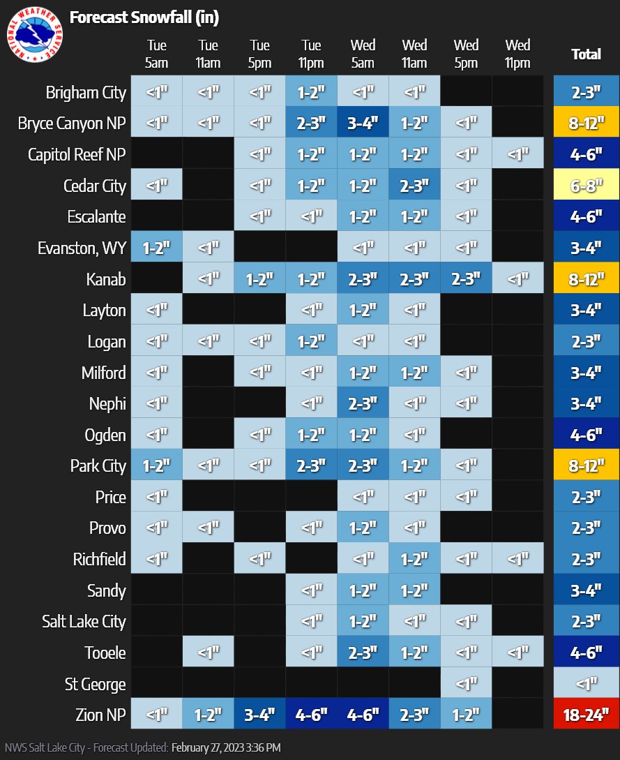
Zion National Park could see another 18 to 24 inches of snow, with Bryce Canyon National Park and Kanab getting 8 to 12 inches.
Park City is also forecasted to see 8 to 12 inches of new snow. The heaviest portions of snowfall for those areas are Tuesday night into Wednesday morning.