‘It just keeps coming’: Warnings issued in Utah with wintry week ahead
Mar 19, 2023, 12:43 PM | Updated: 7:31 pm

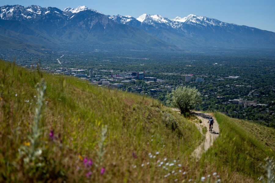
SALT LAKE CITY — Monday is officially the first day of spring, but it might not feel like that in parts of Utah.
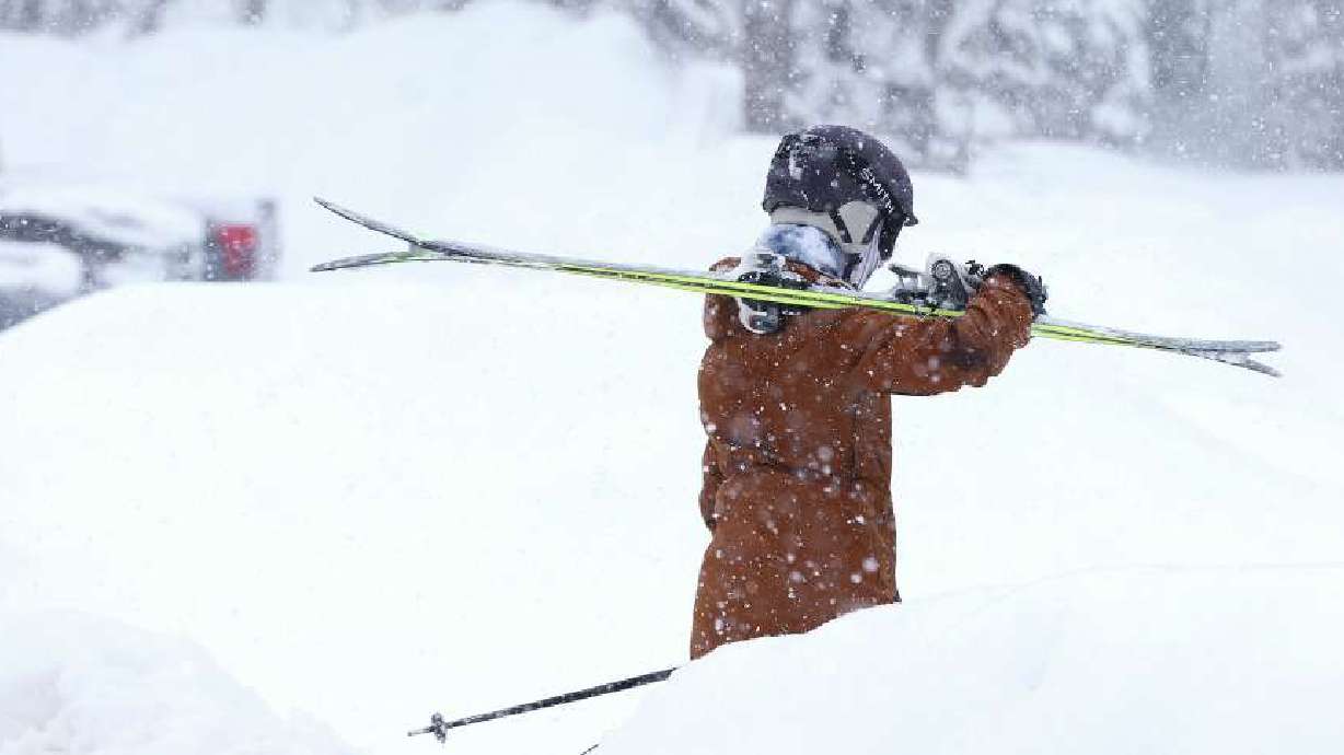
The National Weather Service issued a winter storm warning for most of the state’s mountainous areas as another large storm headed toward the Beehive State, bringing more mountain snow Sunday night through early Tuesday. The warning notes that northern, central and southern Utah mountain ranges could receive another 1 to 2 feet of snow by the time it is all over.
The agency adds that valleys may receive a mixture of rain and snow throughout the week.
Some parts of eastern Utah are also included in a winter weather advisory.
Wintry start to spring
Most of Sunday is expected to be cloudy and breezy before the storm arrives. It is part of a large system that developed off the Pacific Coast and entered California Saturday night, resulting in many similar weather advisories, said KSL meteorologist Brett Benson.
“A lot of moisture will be working in as a part of this system,” he said. “For the most part, it will be valley rain, but we will have time where snow is mixing down into the valleys.”
Showers will begin to develop in the late afternoon or early evening in southern Utah Sunday before spreading through the rest of the state by the end of the day. “Heavy” precipitation is expected to linger through Monday morning and again later Monday as the back end up of the storm pushes through, Benson explained.
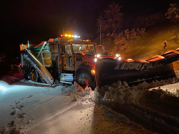
He adds that the storm may result in a slick commute Monday, while the weather service advises that “winter driving conditions” should be expected across high-elevation routes in the state. Traction laws may be enforced in some areas.
🌸⛈️❄️An active start to first day of #Spring is forecast in Utah and SW WY with rain, snow or a wintery mix forecast through Monday evening. Rain begins in southern UT this afternoon with precip spreading northward through tomorrow. #UTwx pic.twitter.com/S6G4CUQl5m
— NWS Salt Lake City (@NWSSaltLakeCity) March 19, 2023
The weather service tweeted that there’s also a chance for thunderstorms across most of Utah Monday.
While the initial storm clears up Tuesday morning, Benson says there won’t be much of a reprieve. Another wave is forecast to creep into the state from the south later in the day, bringing even more precipitation. The storm is currently projected to arrive in southern Utah Tuesday afternoon before reaching northern Utah by Tuesday night.
More precipitation is currently in Utah’s forecast for Friday and Saturday.
“It just keeps coming,” he said.
How much snow is expected
The warnings and advisories, updated Sunday afternoon, combine the two waves. It doesn’t include storms that may arrive after Wednesday.
The weather service writes:
- The first wave is projected to produce 1 to 2 feet of snow in the Wasatch Mountains, with possibly more in the upper Cottonwood canyons. Another 1 to 2 feet of snow is possible with the second wave, as well.
- 10 to 20 inches of snow is forecast for the southern mountains through Monday night, with higher totals expected near Brian Head. The region is expected to receive 1 to 2 feet or more of snow by the end of Wednesday.
- 8 to 16 inches of snow is forecast for the central mountains through early Tuesday. Another 8 to 16 inches is possible during the second wave. The western Uintas is also forecast to receive 8 to 16 inches of snow in the first wave, and possibly 1 to 2 feet in the second wave.
- 10 to 15 inches of snow is forecast for the La Sal and Abajo mountain ranges in eastern Utah from the first wave.
The agency also issued a winter storm watch for the Wasatch backcountry ahead of the second wave. It advises that 5 to 11 inches of heavy snow is possible in areas like Park City, Heber City and Huntsville.
While less than an inch of snow is projected for valleys across Utah in the first wave, more is possible later in the week.
The series of storms will give this year’s massive snowpack yet another boost, as it closes in on a modern record. The statewide average reached 24 inches of water on Friday before dipping a bit to 23.8 inches Sunday morning, according to Natural Resources Conservation Service data. It’s currently 0.8 inches above the previous record for this point in the snow collection season since 1980.
The all-time record for any point in the season is 26 inches set in April 1983.
Full seven-day forecasts for areas across Utah can be found online, at the KSL Weather Center.