Utah research may change everything we know about snowfall
Dec 26, 2023, 7:51 AM | Updated: 7:52 am
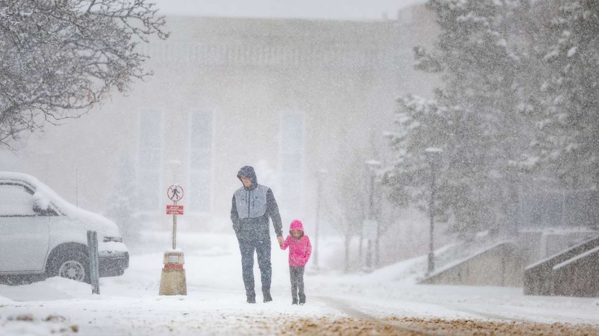
Brock Peery and his daughter Berkley, 6, walk back to their car during a snowstorm in Salt Lake City on March 24. A new study led by University of Utah researchers offers new insight into how and why snowflakes fall the way they do. (Ryan Sun, Deseret News)
(Ryan Sun, Deseret News)
SALT LAKE CITY — Most people already know that virtually no two snowflakes are alike, but a new study led by University of Utah researchers offers new insight into how and why all of these individual snowflakes fall the way they do.
Their findings, published in the peer-reviewed scientific journal Physics of Fluids last week, note that despite the “complexity of snowflake structures and the non-uniform nature of the turbulence,” snowflake acceleration, or how fast snow falls, can be “uniquely determined” through a math equation.
“It suggests that there is something underlying in the atmosphere that is really deeply simple, and I’m not quite sure what it is but our results suggest there may be ways to describe one of the most difficult aspects of the atmospheric sciences in a way that perhaps could be approached by a computer model in a fairly straightforward way,” said Tim Garrett, a professor of atmospheric sciences at the University of Utah, and one of the study’s co-authors.
The findings could open the door for a better understanding of snowstorms and avalanches, improving forecasting in the future.
Snowfall and movement
The study’s findings are more than a decade in the making. Garrett started measuring how fast snowflakes fall in Alta when he decided to dive much deeper into the subject. He figured it was the perfect topic to explore given his interest in the physics of the motion and how Utahns generally love to talk about snow.
This led to early observations that snowflakes didn’t quite fall the way they were supposed to based on the traditional weather and climate models, which were based on equipment that essentially only took into account snow falling in still air. Snow falls in way more unique ways than the models suggested, something that wasn’t all too surprising.
“Even though atmospheric scientists don’t acknowledge it, of course, everybody knows that snowflakes swirl in the air,” he said, recalling this moment to KSL.com.
So, he enlisted Dhiraj Singh and Eric Pardyjak, a pair of researchers from the university’s mechanical engineering department, to help solve the relationship between snowfall and air turbulence. They invented — and patented — an instrument called a Differential Emissivity Imaging Disdrometer to measure the mass, size and density of snowflakes to figure out this scientific mystery.
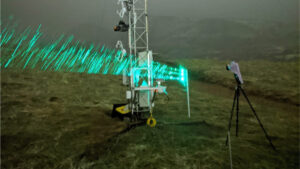
University of Utah researchers test their Differential Emissivity Imaging Disdrometer in Red Butte Canyon. The device measures the hydrometeor mass, size and density of snowflakes. (Photo: Tim Garrett, University of Utah)
With the help of a National Science Foundation grant, the team set up the device at a site in Little Cottonwood Canyon during the 2020-2021 winter season. They studied air temperature, relative humidity, turbulence and other weather factors, and analyzed more than 500,000 individual snowflakes. All of this information provided a “comprehensive picture” never seen before, Garrett said.
What they found when they put all of this information together is they could predict how fast snow falls by using the Stokes number of the flakes, a dimensionless figure that helps scientists understand how particles will react to changes in flow like air turbulence. The Stokes number is typically higher for rain and lower for snow, which is why they fall so differently.
“Snow, as a result, tends to get buffeted around by the turbulent air currents, whereas rain tends to fall straight through them,” Garrett said. “What we ended up finding is that as long as we know the Stokes number, this one dimensionless number, then in some ways our snowflake world was our oyster. That was sufficient information for us to describe how often snowflakes had a given level of acceleration.”
The researchers also note, pointing to decades-old previous research, that updrafts in clouds influence how snowflakes form. Adding in the new knowledge means it may be possible to determine snowfall altogether by measuring cloud turbulence, Garrett explains.
Why it matters
This could have several implications moving forward. For instance, how snowflakes fall is considered a “critical parameter” for predicting weather, because the rate at which moisture falls out of clouds is traditionally a measure of how long a storm will last, Garrett said in a statement ahead of the study’s release.
He clarified to KSL.com that the new study “doesn’t immediately take us” to an answer on how to better predict the length and severity of storms, but it can offer new insights into the relationship between snowfall and wind. That could lead to breakthroughs in meteorology down the road.
“If that is the case and we can show in the future that this really is supported, that could lead to quite significant improvements in storm modeling,” he said. “Right now, one of the biggest challenges weather models have is predicting the types of snowflakes that form in clouds. Our results hint that some of the difficulties … may actually end up being (less complicated).”
It could come down to just measuring air movement in clouds.
Meanwhile, the Differential Emissivity Imaging Disdrometer, the tool that led to this discovery, is already being used in other impactful ways. The Utah Department of Transportation purchased a few devices to help them forecast avalanches in places like Little Cottonwood Canyon because it immediately measures snow density, often a factor in avalanches.
The work isn’t done either. Garrett says he and his colleagues collected more data than they probably have time to decode; however, he plans to keep sifting through it and running experiments to better understand snowfall.
He also hopes everyone can find the beauty in how snowflakes dance in the air as they fall this winter as he and others unravel its mysteries.


