UPDATE: How much will tropical storm Hilary impact Utah?
Aug 18, 2023, 3:42 PM | Updated: Feb 12, 2024, 1:00 pm
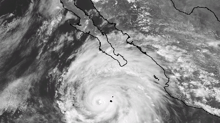
Hurricane Hilary was off Mexico’s Pacific coast late Friday morning. It’s expected to have both direct and indirect weather impacts on Utah over the next few days. (National Weather Service Ocean Prediction Center)
(National Weather Service Ocean Prediction Center)

UPDATE: Hilary has been downgraded to a tropical storm since this article was published. Though, it still poses major threats to some areas of deadly rainfall along the western U.S.. Estimates on its impact in Utah as detailed below should still be precautioned.
SALT LAKE CITY — Hurricane Hilary is expected to provide significant rainfall in parts of the West as it makes landfall this weekend, and will likely have both direct and indirect impacts on Utah over the next few days.
The storm system formed into a tropical storm on Wednesday before developing into a hurricane Thursday, according to the National Hurricane Center. It quickly strengthened into a Category 4 storm by Friday morning as it spins off the coast of the Baja California peninsula in Mexico.
The center projects the storm to make landfall in Mexico as early as Saturday night before moving north into the U.S., reaching Southern California as early as Sunday, possibly remaining a tropical storm at that time. The National Weather Service on Friday issued a tropical storm watch for the region, advising that 1 to 8 inches or more of rain is possible in places throughout the region as it makes landfall.
If it remains as strong as it is currently forecast, it would be the first tropical storm to reach Southern California in 84 years, the Associated Press reports.
Where Hilary may impact Utah
Hurricane Hilary’s remnants are expected to continue to move north as it weakens.
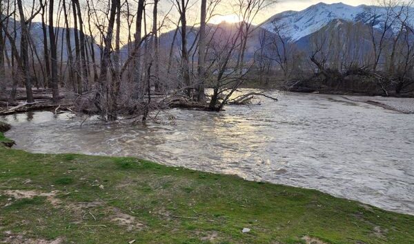
Some parts of Utah are in line to potentially receive moisture tied to the storm. The National Hurricane Center’s moisture model, updated Friday morning, shows that parts of southwestern Utah, including St. George, Cedar City and Zion National Park, are in line to potentially receive up to 2 inches of rain from its remnants as it moves north.
8am PDT Fri Aug 18 Key Messages for Hurricane #Hilary: There is the potential for rare and dangerous flooding impacts from heavy rainfall across portions of the Southwestern U.S. this weekend. https://t.co/Oy8uoeRKme pic.twitter.com/8wAlt80Bi7
— NHC Eastern Pacific (@NHC_Pacific) August 18, 2023
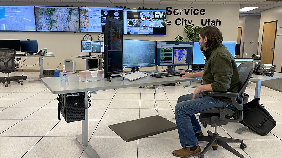
KSL meteorologist Matt Johnson says these areas will likely receive “light to moderate” but steady rainfall because of how far out it is from Hilary’s center. If that’s the case, it will be different from the traditional scattered downpours tied to summer monsoons.
The storm is expected to provide heavy rainfall throughout Nevada and western Arizona, as well. Johnson adds that it all depends on the path Hilary takes over the next few days, meaning that direct storm rainfall could end up skipping Utah, or that more parts of the state may be impacted.
“That’s something we’ll have to watch because if the center of the track shifts a little further east, St. George, Kanab, points further north and east can tap into more of that rain,” he said. “As it stands, that track will hit southern California and we’re kind of on that northeast side (of the storm system).”
Hilary’s indirect impacts on Utah
Either way, Utah is expected to experience at least some impacts tied to the storm, though a little more indirectly.
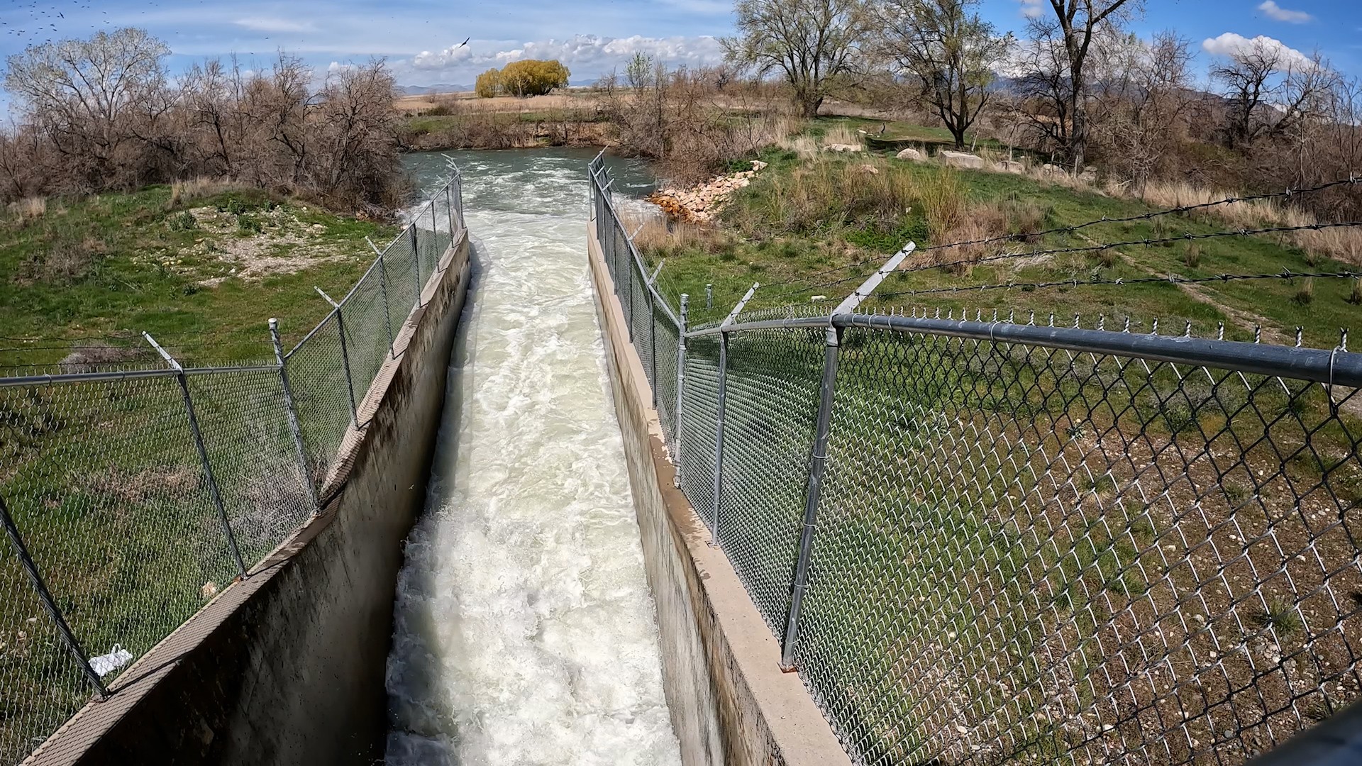
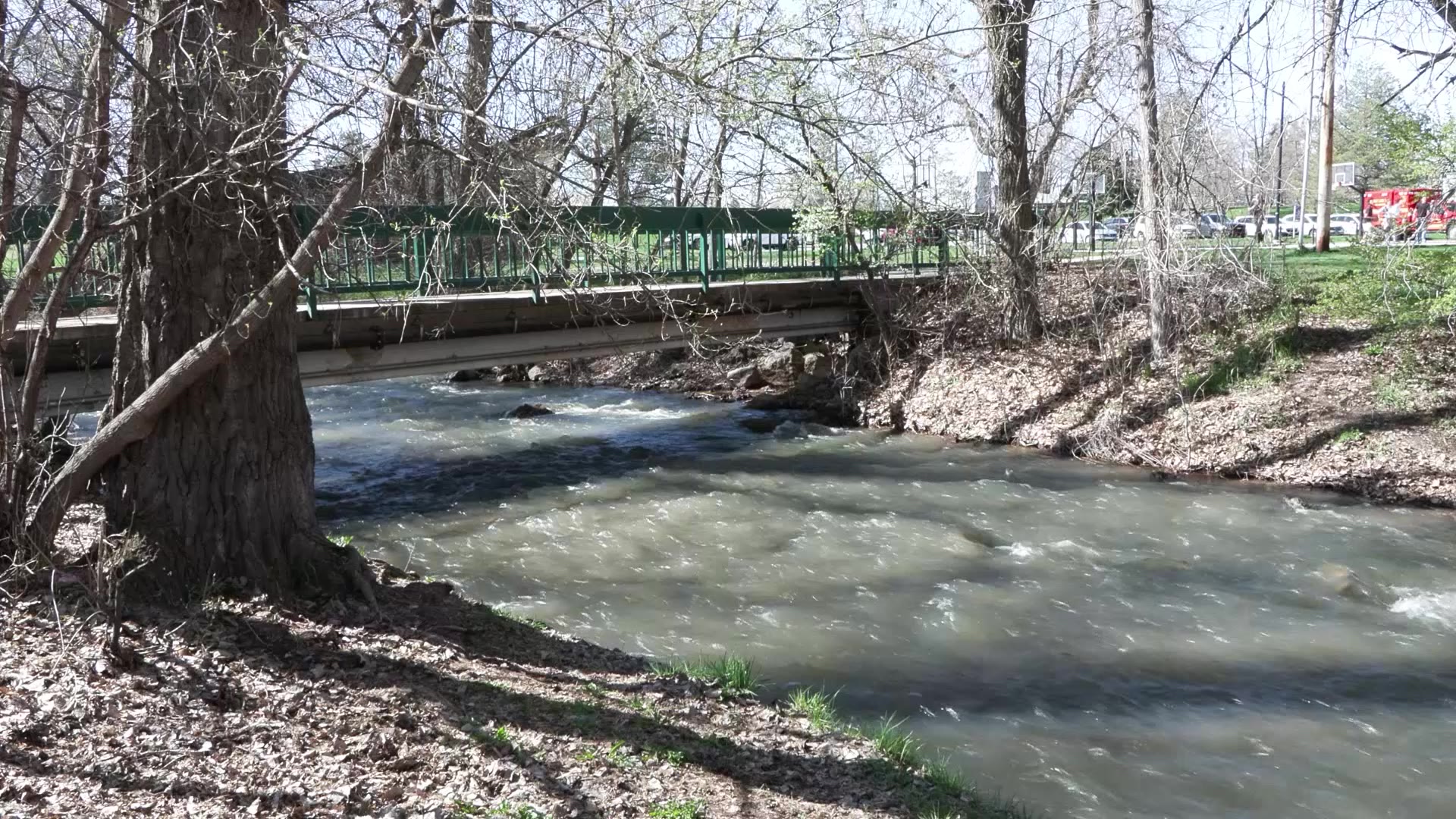
Every tropical disturbance creates a “huge swath” of deep tropical water vapor that surrounds the system, as is the case with Hurricane Hilary, Johnson explains. That tropical water vapor is forecast to end up in Utah as early as Saturday, increasing the amount of vapor already in play from the monsoonal moisture that has impacted the state over the past week.
Friday afternoon update on the current monsoonal moisture surge into the forecast area and expected future impacts from the remnants of Hurricane Hilary…
Primary concerns are for flash flooding in portions of southern and central Utah as well as northern Utah burn scars. #utwx pic.twitter.com/GwnlYmgX6G— NWS Salt Lake City (@NWSSaltLakeCity) August 18, 2023
Johnson said it would “juice up” the existing monsoonal vapor that develops into scattered showers and thunderstorms. This means some areas could receive significant monsoonal rainfall, elevating flash flood risks this weekend. Other areas could be skipped because some added cloud cover may lessen the moisture that falls.
“We’ll probably tap into that. It’ll feel quite muggy,” he said. “The storms are already packing a punch, but it’s just going to reinforce the monsoon that we already have. … The amount of water vapor available to make these thunderstorms is at a surplus.”
While Hilary will move out by early next week, the monsoonal pattern is forecast to end anytime soon. There’s a decent chance of scattered showers and thunderstorms across the state every day for most of next week, with the strongest probabilities in southwest Utah.