Utah’s snowpack breaks 71-year-old record; Cox issues flood declaration as melt nears
Apr 4, 2023, 3:24 PM | Updated: Apr 17, 2023, 4:16 pm
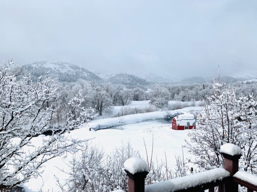
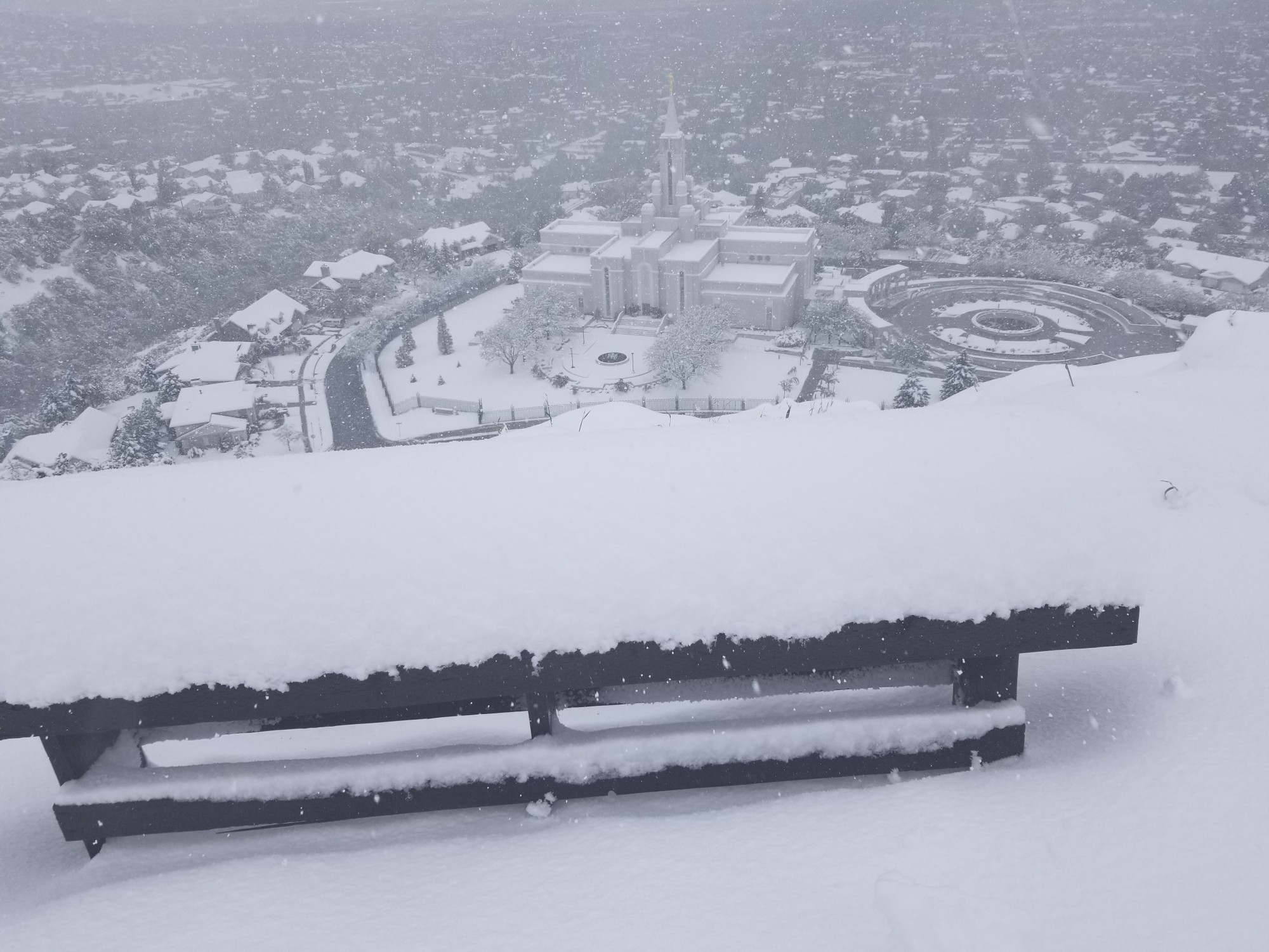
This photo was taken in Liberty, Utah, on April 2nd. The snow may never melt. (Donene Jones)
(Donene Jones)
SALT LAKE CITY — Utah’s snowpack is now higher than it has ever been since statewide records were first established in the 1930s.
The statewide average reached 29 inches of snow water equivalent Tuesday morning, surpassing the previous record of 28.8 inches set during the 1951-52 snow season, according to the Natural Resources Conservation Service. It’s since grown to 29.4 inches of water, as of Tuesday afternoon.
The 30-year normal is 15.8 inches, while Utah’s snowpack only maxed out at 12 inches last year.
Utah’s snowpack already shattered 1983’s previous record for the highest statewide snowpack since data became automated in the late 1970s and early 1980s. It reached 26 inches in April that year and remained higher before melting in late May.
The new record does come with a bit of a caveat, however. Jordan Clayton, a hydrologist for the Natural Resources Conservation Service, explained to KSL.com that this year’s total and the 1952 record are “not a perfect apples-to-apples comparison” because of the differences in collecting the data.
Snowpack collection information is updated fairly regularly every day until there’s nothing left in the mountains under the current automated process, which is why it’s considered more reliable.
Samples were collected once a month through a complex manual process during the 1952 season, so the snowpack could have been higher at points before or after the recorded all-time high. There also weren’t as many snowpack collection sites in 1952.
29" SWE. As Utah officially surpasses the estimated 1952 levels, those concerned with flooding can learn more about risks and other state resources by going to the @UtahDPS emergency management page: https://t.co/gfkjF2yFlE #utwx pic.twitter.com/jHQQ62QUXr
— NRCS Utah (@NRCS_Utah) April 4, 2023
1952 still holds several snow records across the state. For example, the National Weather Service notes that 117.3 inches of snow that fell in Salt Lake City between the second half of 1951 and the first half of 1952 remains an all-time record for the city, dating back to 1874.
Entering Tuesday, 78.5 inches of snow had fallen in the city this season, the 19th-most over the past 149 years and well above the 30-year normal of 51.9 inches, according to weather service data.
Flood planning continues
The new record comes at a time Utah’s snowpack normally peaks. And it’s possible that this year’s snowpack could peak soon. Utah Gov. Spencer Cox is joining water experts in hoping that the snow collection comes to an end soon so the snow can gradually melt instead of all at once.
The governor on Saturday tweeted a photo of a National Weather Service long-range forecast calling for below-normal precipitation after this week’s massive storm. The current Utah forecast calls for high temperatures to reach the 60s by the end of the week along the Wasatch Front and highs in the mid-30s in high-elevation areas like Alta.
“I never thought I would be relieved to see some brown on this map,” he tweeted, referring to the dry outlook. “So far temps look good for slow melt. Flood mitigation efforts are well underway and sandbag stations are popping up. Check with your local city (and) county.”
Another winter storm is here, and the likelihood of heavy spring runoff during the warming spring months is high. So we’re declaring April as Flood Safety Month to encourage Utahns to be prepared for flooding and other natural disasters.
Learn more about how you can be prepared… pic.twitter.com/BKW1sXVqRe
— Utah Gov. Spencer J. Cox (@GovCox) April 3, 2023
He also issued a declaration Monday making April “Flood Safety Month” in Utah. It notes that flooding has caused the most damage for any weather-related event in Utah, including two-thirds of Utah’s major disaster declarations.
Given this year’s record snowpack, the declaration notes that there’s a “likelihood of heavy spring runoff” over the next few months as the temperatures across the state begin to warm.
“The state is already seeing isolated flooding incidents with rising river levels and water tables, sheet flooding and flash flooding,” the document states. “Government agencies and many volunteer organizations are committed to helping educate Utahns to prepare for and respond to flood hazards.”
High water in Ogden Canyon on Sunday from 🚁5. pic.twitter.com/XyWKWMtGnh
— Jeff Dahdah (@jeff_dahdah) April 3, 2023
Some water managers have already started releasing water from reservoirs in areas where reservoirs are expected to exceed capacity otherwise. Several municipalities have also cleared debris from creeks, ditches, canals and culverts, helping reduce flooding from happening. They’ve also made sandbags available for residents, especially those in flood-prone areas.
The declaration also calls on residents to read up on ways to prevent flood damage at their homes. Those tips can be found on the Utah Department of Public Safety website.


