Intense snow could lead to emergency alerts on phones
Jan 9, 2024, 1:44 PM | Updated: 1:53 pm

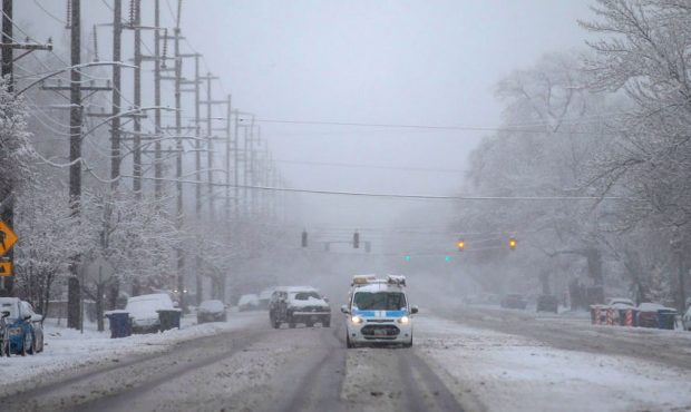
SALT LAKE CITY — Emergency alerts could be sent to cell phones on Tuesday as dangerous wind and snow conditions hit northern Utah on Tuesday and Wednesday.
These alerts are called squall warnings, and they’ve caught users off guard in the past. Snow squall warnings are alerts that should be read carefully because a snow squall can heavily impact a person’s commute.
The hope from the National Weather Service is for users to get the warning so they can plan their commute around when the weather is at its worst.
“A lot of times it’s just a quick punch. So if you do get accumulating snowfall, it can cause problems because it’ll happen in such a short amount of time. It’s basically a thunderstorm, right? Where you get heavy rainfall. It’s quick,” said KSL meteorologist Matt Johnson.
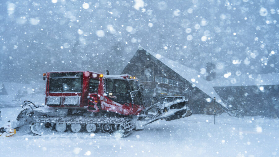
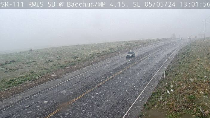
A snow squall can potentially make visibility very low for those on the road due to the snowfall, the snow on the ground, and heavy winds moving it all around.
In fact, visibility may come down to a quarter of a mile or just over 500 feet. That can fluctuate depending on how heavy the snow is.
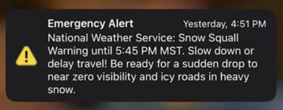
A screenshot of an emergency alert sent for snow squalls in 2021.
“Some of the gusts can get up to 30 to 40 miles per hour, and then you’ve got blowing snow. You got all sorts of visibility issues, not just from the snow coming down but even coming off the ground snow. So it can complicate things,” Johnson said.
According to the NWS, they enacted snow squall warnings on cellular devices in 2022 and completed nationwide implementation in 2023. NWS also said that squall lines are common east of the Rocky Mountains, which means that Utahns may not be so familiar with the term.
The squall warning will inform the user of which areas are impacted by the squall, how long it will last, and other conditions to expect.
For a detailed look into the weather forecast at your fingertips, download the KSL Weather App.