It’s not just clouds, there’s a new weather threat for eclipse viewers to worry about
Apr 3, 2024, 10:09 AM

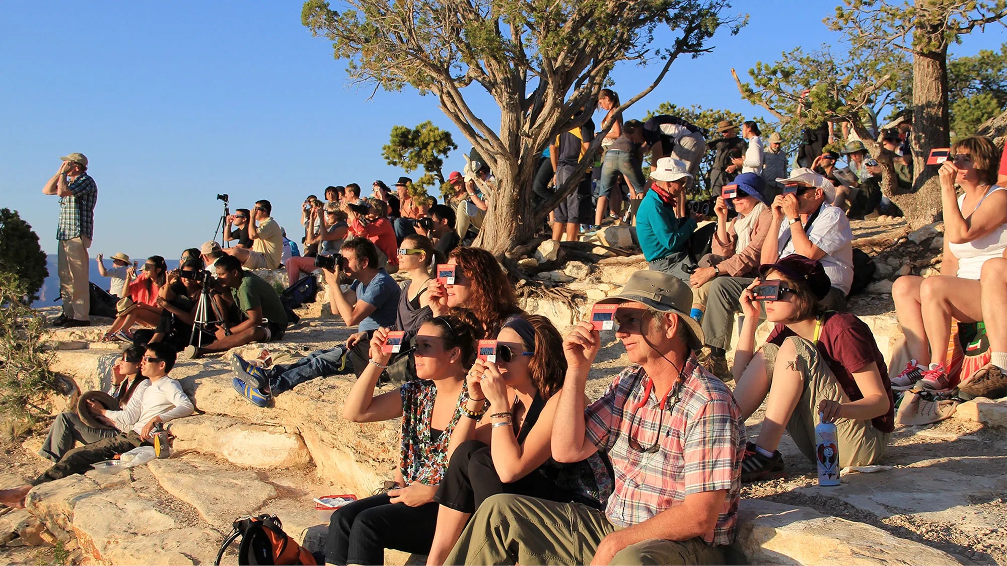
A crowd uses handheld solar viewers and solar eclipse glasses to safely view a solar eclipse. (National Park Service)
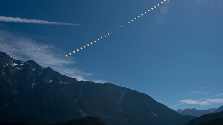
(National Park Service)
The highly anticipated total solar eclipse is fast-approaching, but a new wrinkle has appeared in the forecast for Monday’s event.
Severe thunderstorms are possible in parts of the Southern Plains and Lower Mississippi Valley, including in the path of totality. These storms could obscure the view for some, but are more likely to bring risks for post-eclipse travelers.
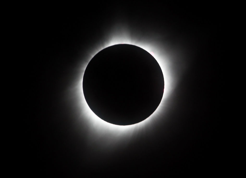
Totality, when the moon will entirely block the sun, will occur along a more than 100-mile-wide path from Texas to Maine, passing over cities like Dallas, Indianapolis, Cleveland and Buffalo, New York.
Parts of Texas – including Dallas – Oklahoma, Arkansas and Louisiana are at an increased risk of damaging thunderstorms on Monday, especially during the evening hours, according to the Storm Prediction Center. Damaging winds, hail, drenching rain and perhaps a tornado are all possible.
Severe thunderstorms typically rumble to life later in the afternoon in the southern U.S., after the daytime heat reaches its peak, driven by a largely cloud-free sky.
So the development of any violent storms could hold off just long enough for eclipse-watchers in the threat area to get a decent view of the phenomenon during its 1:30 to 2:00 p.m. CDT journey through the region.
Anyone stuck in post-eclipse traffic Monday afternoon or evening in northeastern Texas, southern Oklahoma, southwest Arkansas and northwest Louisiana could be at risk of damaging thunderstorms.
An estimated 20 million people in the U.S. traveled to another city to view 2017’s total solar eclipse and there was a significant increase in traffic risks as a result, a recent study found. Millions more are expected to travel for Monday’s eclipse as the path of totality will be 40 to 50 miles wider than 2017’s path.
The current cloud forecast isn’t ideal for other locations in the path of totality.
It’s still too early to say exactly when and where clouds will develop Monday, but a better idea of overall weather patterns is coming into focus as the event draws nearer.
The same storm system driving Monday’s severe weather risk could also send moist air from the Gulf of Mexico north into parts of the Tennessee and Ohio valleys. This could potentially lead to an increase in cloud cover in both regions and could obstruct totality views.
Meanwhile, high pressure and a largely cloud-free sky could shape up over the Northeast and create excellent viewing conditions for totality.
Cloud forecasts are still subject to change as minor differences in how storms or air masses move this week can make a huge difference in where clouds develop next week. More precise cloud cover forecasts with higher confidence levels should be possible by this weekend.
In an interesting twist, the current forecast is almost the complete opposite of what historical cloud cover data shows for April 8.
Years of past cloud cover data pinpoint the Southern Plains as the region with the greatest chance for a cloud-free viewing experience on April 8, and the Northeast with one of the worst chances.
Will this plot twist from Mother Nature pan out? Anyone hoping to glimpse the eclipse will need to keep a close eye on the forecast in coming days.


