‘Complicated’ winter storm to impact Utah valleys Thursday
Jan 24, 2024, 4:51 PM | Updated: Jan 25, 2024, 9:29 am
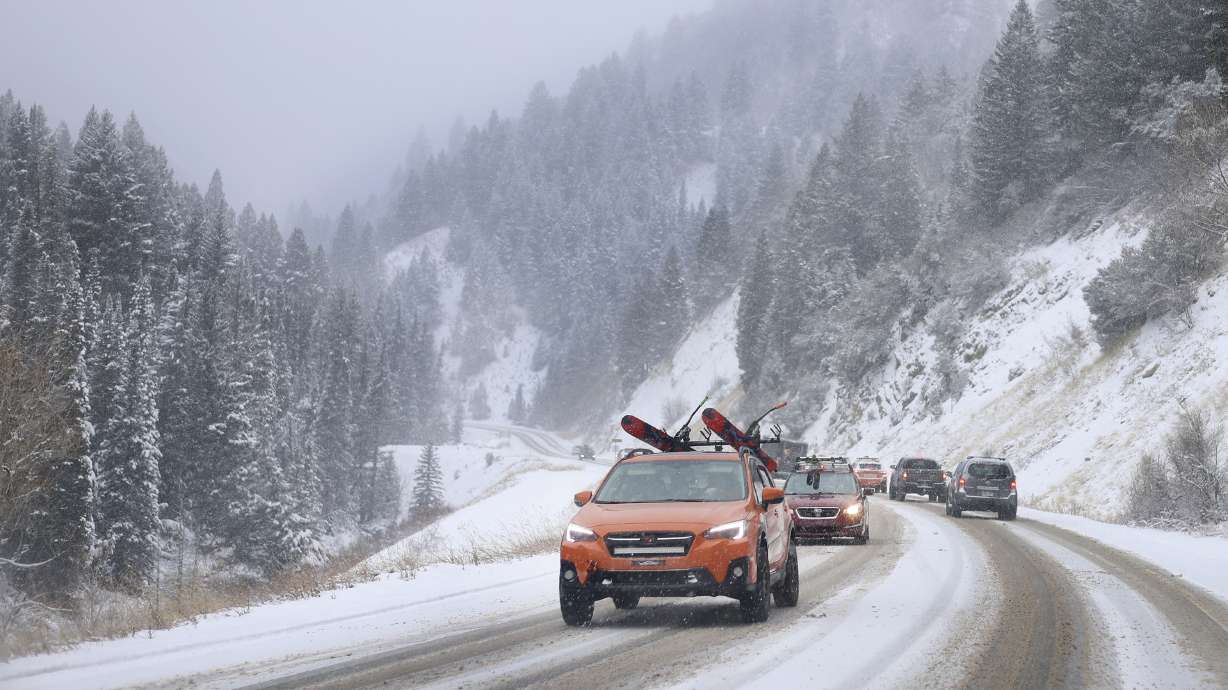
Motorists drive in Big Cottonwood Canyon on Dec. 1. Storms have continued into January and another is forecasted in Utah valleys on Thursday, with a chance of rain-snow mix. (Laura Seitz, Deseret News)
(Laura Seitz, Deseret News)

SALT LAKE CITY — Another storm is headed for the Wasatch Front on Thursday. This time, KSL meteorologist Matt Johnson said the forecast is a bit complicated.
“Low pressure in the Pacific Northwest — that’s our next player,” Johnson said. “Gonna be bringing in valley rain, mountain snow; but we could see a rain-snow mix in the valleys as well.”
Storm clouds continued to form Wednesday afternoon and evening and set Thursday morning up for a wet commute, he said. By 5 a.m. Thursday morning, there was a rain-snow mix with scattered, high-elevation spots seeing heavier snow. The storm looked to start in northern valleys and work its way to central and southern areas of the state later in the day, but the heavier parts ended up hitting southern Utah.
(2/2)This mishandling of the storm from models is a reflection of how unpredictable splitting storms can be, even with a 24 hour lead time. As a result, you can expect the biggest totals will be down south today.
— Matthew Johnson (@KSL_Matt) January 25, 2024
According to Johnson, the reason for the complication was that the snow line would hover near the valley floor. If the precipitation is heavy enough, it will drag down cooler air from the upper atmosphere and cause more snow in the valley. Regardless, travelers north of Ogden and those heading through mountain passes should be prepared for snow.
THURSDAY STORM: The snow line will hover the valley floor again tomorrow. Rain/snow showers pick up just in time for the a.m. commute. #utwx
Northern Valleys: Rain-2″
Northern Mtns: 4-8″
Cottonwoods: 6-12″
Central Mtns: 3-6″
Southern Valleys: .10-.30″(rain)
Southern Mtns: 5-10″ pic.twitter.com/R8RzVqHFxK— Matthew Johnson (@KSL_Matt) January 24, 2024
Precipitation totals between Thursday morning and Friday morning are forecasted possibly at less than an inch. Unless that snow line is dragged further down into the valley, which may yield about 2 inches of snow in Utah’s valleys. Johnson said Utah’s southern mountains will be hit the hardest with an estimated 6 to 12 inches of snow, with northern mountains at about 4 to 8 inches.
The National Weather Service issued winter weather advisories for the mountains across northern, central and southern Utah, where 5 to 12 inches of snow are forecast to fall by the end of Thursday. Higher totals are possible in areas close to upper Cottonwood canyons, as well as the Tushar Mountains and the Brian Head area, according to the agency.
By the time commuters are ready to be out the door Friday morning, the storm is likely to be clear.