Hazy, smoky skies return to Utah — but for how long?
Aug 30, 2023, 3:46 PM | Updated: 3:49 pm
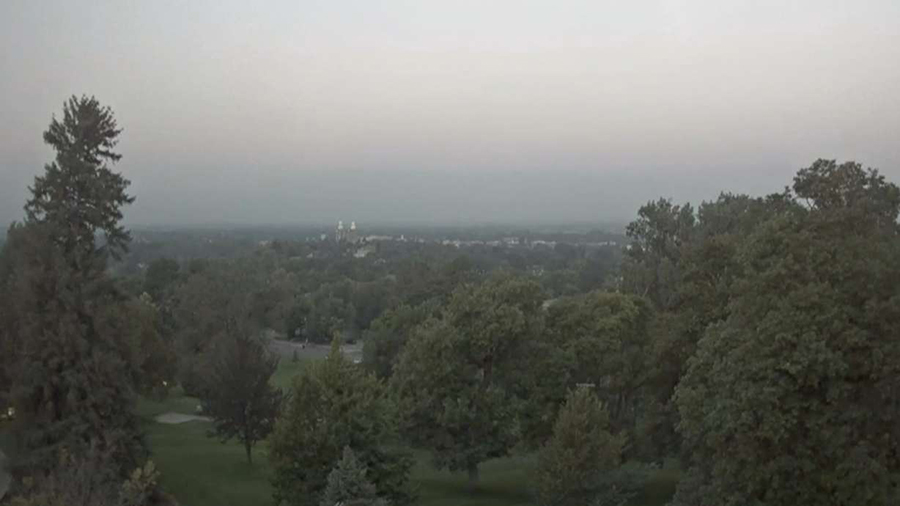
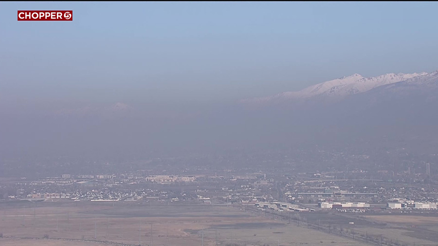
Hazy skies captured by Utah State University’s weather camera hinder mountain views Wednesday morning. Smoke from the Pacific Northwest reached Utah on Wednesday, worsening air quality for Utah’s northern half. (Utah State University)
(Utah State University)
SALT LAKE CITY — Yes, wildfire smoke and hazy skies are back in Utah.
A cold front pushed through Utah on Tuesday night, bringing winds from the Pacific Northwest into Utah on Wednesday, KSL meteorologist Matt Johnson explains.
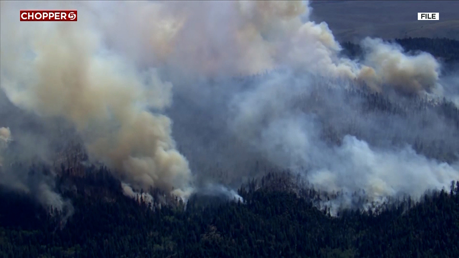
“There are wildfires up in the Pacific Northwest, so, unfortunately, that smoke has moved into Utah,” he said.
The National Weather Service posted a simulation model to social media showing how light to nearly moderate smoke levels were projected to filter throughout parts of the state Wednesday.
IMPACT ON UTAH
The heaviest levels are reported in northern Utah, Wasatch Front, and West Desert areas; however, it may move into parts of central Utah as the concentration dissipates a little.
If you're behind the front in N UT, you may have noticed some wildfire smoke in the air from the Pacific Northwest. Smoke concentrations will decrease this afternoon and evening. Here's what one of our models thinks will happen through the day. #utwx pic.twitter.com/SRPwg8UZaT
— NWS Salt Lake City (@NWSSaltLakeCity) August 30, 2023
Johnson said the hazy skies will linger into Thursday. Air quality for Salt Lake and Davis counties are forecast to reach “orange” levels Wednesday and Thursday, which is when particulate matter counts are considered unhealthy for sensitive groups, according to the Utah Division of Air Quality.
Its forecast lists “moderate” air quality levels across Box Elder, Cache, Tooele, Utah, and Weber counties over the two-day span, while Duchesne and Uintah counties are listed as having “moderate” air quality levels on Wednesday but healthier levels on Thursday.
HOW LONG WILL IT LAST?
However, the smoke also won’t last terribly long because another change in weather patterns is on the horizon. As another low-pressure system moves into the Pacific Northwest on Thursday, the winds in Utah will gradually shift from the northwest to the south, stopping the smoky inflow.
More widespread precipitation is expected across Utah beginning on Friday. Johnson says the low-pressure system will continue to move south across the Pacific Coast, helping to “lift our atmosphere” by pushing out a high-pressure system that has blocked monsoonal storms from reaching the state over the past few days.
Full seven-day forecasts for areas across Utah can be found online, at the KSL Weather Center.


