Weekend winter storm warning: More snow on the way
Jan 13, 2024, 12:43 PM
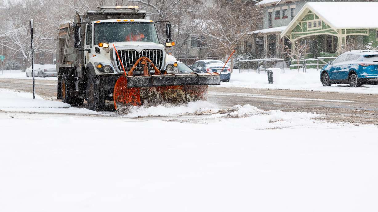
A snowplow in Salt Lake City on Thursday. Heavy and blowing snow is forecast for Utah over the next few days. (Megan Nielsen, Deseret News)
(Megan Nielsen, Deseret News)

SALT LAKE CITY — Parts of Utah’s mountains have already received more than 2 feet of snow since Tuesday, but Mother Nature is just getting started.
The National Weather Service has issued a winter storm warning ahead of yet another storm that could deliver up to another 2 to 4 feet of snow for parts of Utah’s mountains between Friday and Monday morning. Totals may even reach 5 feet in some mountain spots.
The warning now stretches out into most valleys across northern and central Utah. Communities along the Wasatch Back may also receive close to or more than 2 feet of snow during the same time, while some valley communities could receive 1 foot of snow over the weekend.
Storm timing
Plenty of snow fell after a pair of cold fronts pushed through the state Tuesday and Wednesday. Alta Ski Area received 29 inches of snow between Tuesday morning and Thursday afternoon, while Brighton, Solitude and Snowbird resorts have also received close to or more than 2 feet of new snow.
Even valley areas like Saratoga Springs and Draper ended up with about a half-foot of snow.
KSL meteorologist Matt Johnson said some “unstable northwest flow” created some lake effect showers that padded valley and mountain snow totals Thursday. A few additional showers are possible Friday morning, but the next big wave isn’t expected to arrive until Friday afternoon and evening and the “meat and potatoes” will arrive on Saturday.
A cold front will slide into the state from the north Friday evening, impacting the mountains and communities mostly near Salt Lake City and north of it. Some small showers may linger into Saturday morning but the snow will pick up during the second half of the day as another cold front comes in from the west, Johnson said.
The second wave is where most of the snowfall is expected, producing waves of snow through at least Sunday afternoon.
“Saturday night into Sunday is when this low-pressure system swings by (southern Utah), but keeps northern Utah under the snow gun for quite some time,” he said. “It is trending snowier as we’ve backed away from the option of rain on Saturday.”
Snow projections
The Wasatch, Western Uinta, Wasatch Plateau/Book Cliffs and central mountain ranges are forecast to receive the most snow over the next few days. The winter storm watch advises that accumulations of 2 to 4 feet of snow are expected between late Thursday and 5 p.m. Sunday. The Upper Cottonwood Canyons may end up with close to 5 feet of snow during that time.
Snowfall totals will be high, in particular for the northern mountains and valleys. Keep in mind that the snowfall forecast is a 72 hour forecast from Friday morning through Sunday evening!
If you have travel plans for the weekend, expect winter driving conditions. #utwx #wywx pic.twitter.com/CxjkZEIq8T
— NWS Salt Lake City (@NWSSaltLakeCity) January 11, 2024
The Wasatch Back may receive 20 to 30 inches of snow, while smaller accumulations are expected for the mountains in southern Utah over the next few days. The Bear River Valley area may receive anywhere from 8 to 18 inches of snow by Sunday afternoon.
Johnson said he expects 1 to 3 inches or more of snow to fall in the valleys on Friday, especially in areas by Salt Lake City and north. Another 4 to 9 inches are possible between Saturday and Sunday, but some models indicate that 12 inches are possible.
The weather service’s warning states that 2 to 6 inches of snow is possible by Saturday morning for the Wasatch Front and places just outside of it, like Tooele, Brigham City and Logan. Another 4 to 8 inches — and possibly up to 12 inches — is forecast for these areas between Saturday afternoon and Monday morning.
Slightly lower totals are forecast for the Utah Valley, while higher totals are possible for communities along the northern Wasatch Front, eastern Box Elder County and Cache valleys, according to the storm warning.
The West Desert could receive 1 to 3 inches of snow from the first wave and 3 to 8 inches from the second wave. Central Utah communities, included in a winter weather advisory, may receive 2 to 4 inches by Saturday morning and another 2 to 5 inches by Monday.
Travel impacts
The various alerts state that wind gusts exceeding 50 mph are possible in the mountains Friday, including 80 mph along exposed ridge lines, while windy conditions are likely for the valleys, which may create blowing snow that “could significantly reduce visibility” at times. The National Weather Service’s Boise office issued a blizzard warning for parts of southern Idaho that will remain in effect through Saturday morning.
Similar impacts are possible in northern Utah, according to the Utah Department of Transportation. It notes that “significant blowing snow” is expected for parts of the Wasatch Front and northern Utah on Friday in a road weather alert. Drivers are urged to use “high caution” while traveling through those parts of the state on Friday.
“Look for areas of blowing snow, especially near the Idaho border, over exposed summits and across the Bear River Valley,” the alert states. “Winds decrease Friday night and completely relax by early Saturday morning.”
Road Weather Alert: Snow showers continue to impact northern and central portions of Utah over the next couple of days, with the heaviest occurring Friday into Friday night.
For more information, visit: https://t.co/QrWh3RKePZ #utwx #utsnow @UtahTrucking pic.twitter.com/huXko4nMIy— UDOT Traffic (@UDOTTRAFFIC) January 11, 2024
Drivers are urged to also use high caution while traveling along mountain passes and moderate caution along the southern half of the Wasatch Front and central Utah.
The agency will likely issue more alerts for Saturday and Sunday travel.
Cold and partly cloudy conditions are forecast for the Wasatch Front on Monday as the system moves out of the state, according to Johnson. Full seven-day forecasts for areas across Utah can be found online, at the KSL Weather Center.
Growing avalanche danger
Meanwhile, another avalanche warning was issued on Friday and more are possible, if not likely over the next few days.
High to extreme avalanche danger exists throughout central and northern Utah because of all of the additional snow in recent days that has fallen on top of a weak layer of snow, Utah Avalanche Center experts say. The danger is expected to remain “considerable” heading into Friday with strong wind gusts forecast with additional snow.
“Do not travel in avalanche terrain,” the agency states. “Do not be on, underneath, or adjacent to slopes approaching 30 degrees or steeper.”