Northern Utah school district apologizes for ‘wrong call’ after not issuing a start delay
Feb 22, 2024, 10:45 AM
NORTH LOGAN — Cache County school district officials issued an apology Wednesday for not delaying the start of schools after over a half-foot of snow fell on roads across the Cache Valley.
“We made the wrong call. Based on the conditions, we realize schools should have at least had a late start,” the district wrote in a statement. “The safety of our students and staff is very important to us and we will be doing a thorough review of our processes to determine how we can continue to improve.”
The district’s situation came after the heart of the latest atmospheric river ultimately set up north of what was forecast, producing stronger precipitation totals across the northern Wasatch Front and northern Utah instead of the central portion of the Wasatch Front.
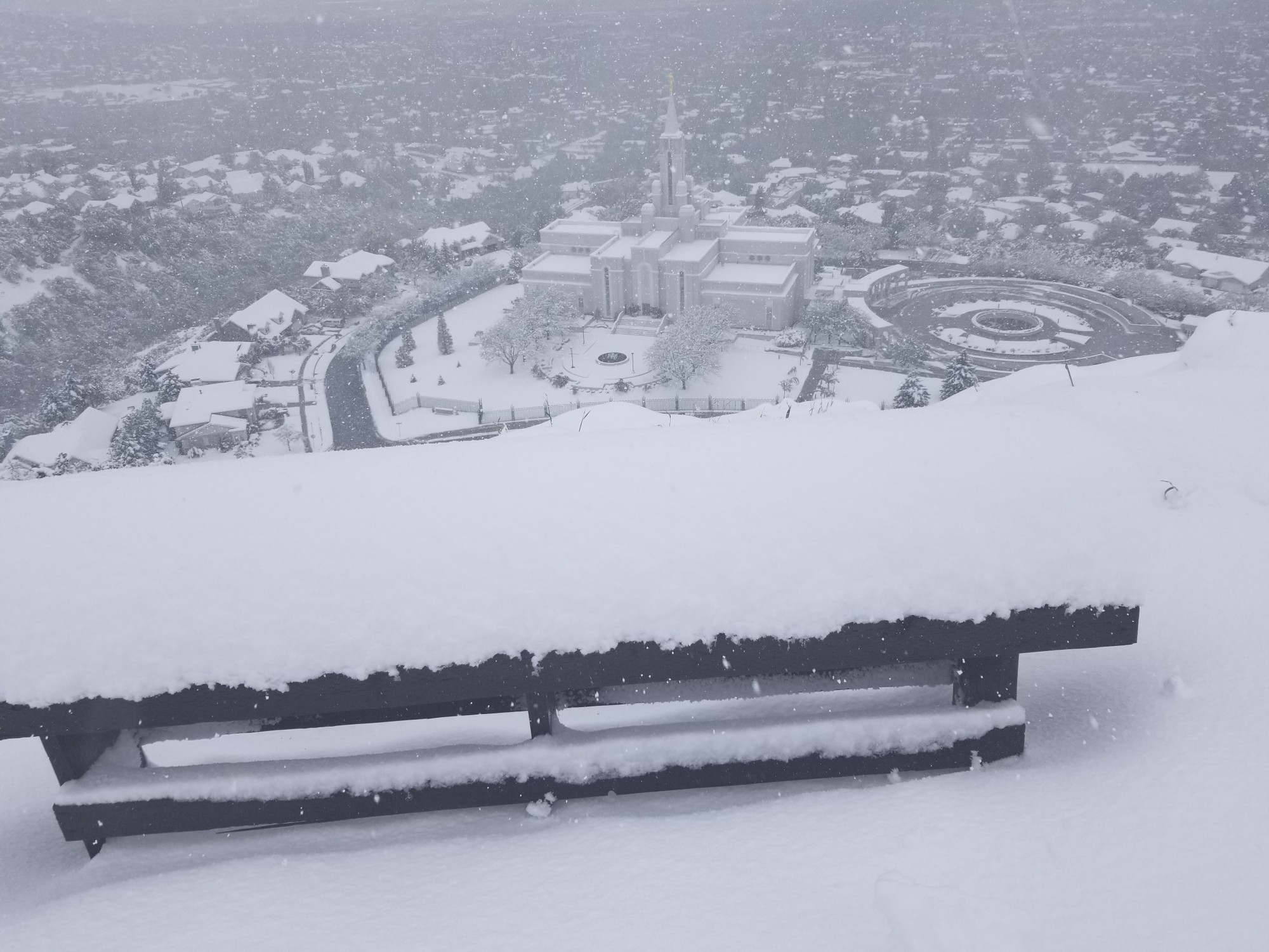
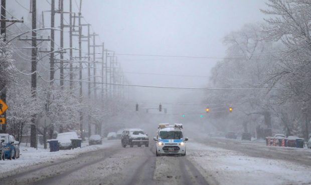
The National Weather Service issued a winter weather advisory for some parts of northern Utah, including Garden City, Randolph and Woodruff in Rich County, where 2 to 6 inches of snow were possible. However, multiple Logan locations reported receiving at least 7 inches by Wednesday morning, according to the agency.
Some parts of the Cache Valley even received a foot of snow, prompting the agency to issue a new alert for the region that expires Wednesday evening. Places like North Ogden and Perry — southwest of Cache County — have already accumulated more than an inch of precipitation, as well.
Utah Department of Transportation officials reported multiple crashes, slide-offs and road restrictions across Cache, Box Elder and Weber counties on Wednesday.
Snow is falling throughout the Cache Valley. These traffic cameras are from Richmond and Logan showing snow on the roads. #utwx pic.twitter.com/bgJeiyhn30
— NWS Salt Lake City (@NWSSaltLakeCity) February 21, 2024
Jenda Nye, spokeswoman for the Cache County School District, explained that the district reviews conditions and forecasts, and consults with transportation experts before deciding by 5:30 a.m. to notify employees, parents and students about the upcoming day. In this case, the conditions were good enough by 5:30 a.m. that the district decided to proceed with a normal day.
It became clear shortly after that the conditions “warranted at least a delayed start,” Nye said. The problem, she added, is that the district’s buses were on the road and students were on their way to school by the time conditions worsened. That’s why the district proceeded with a normal day.
“An apology was issued to our community with a commitment to review our processes and determine how we can improve,” she said. “We will continue to strive to make the best decisions possible to keep our students, families and staff safe in inclement weather.”
KSL meteorologist Matt Johnson said scattered showers are forecast Wednesday afternoon and evening. Some of these may linger overnight and early Thursday, especially in northern Utah. All of the warnings and winter weather advisories issued ahead of the storm are slated to expire by Wednesday night.
Weather service meteorologists noted that “locally moderate to heavy precipitation” could result in road ponding in some areas, in a social media post. They add that mixed rain and snow or a “full transition” to snow is likely in the evening with colder temperatures arriving in the state.
Full seven-day forecasts for areas across Utah can be found online, at the KSL Weather Center.


