Warning issued for Utah mountains, advisories for valleys ahead of latest storm
Feb 26, 2024, 12:36 PM | Updated: 12:37 pm
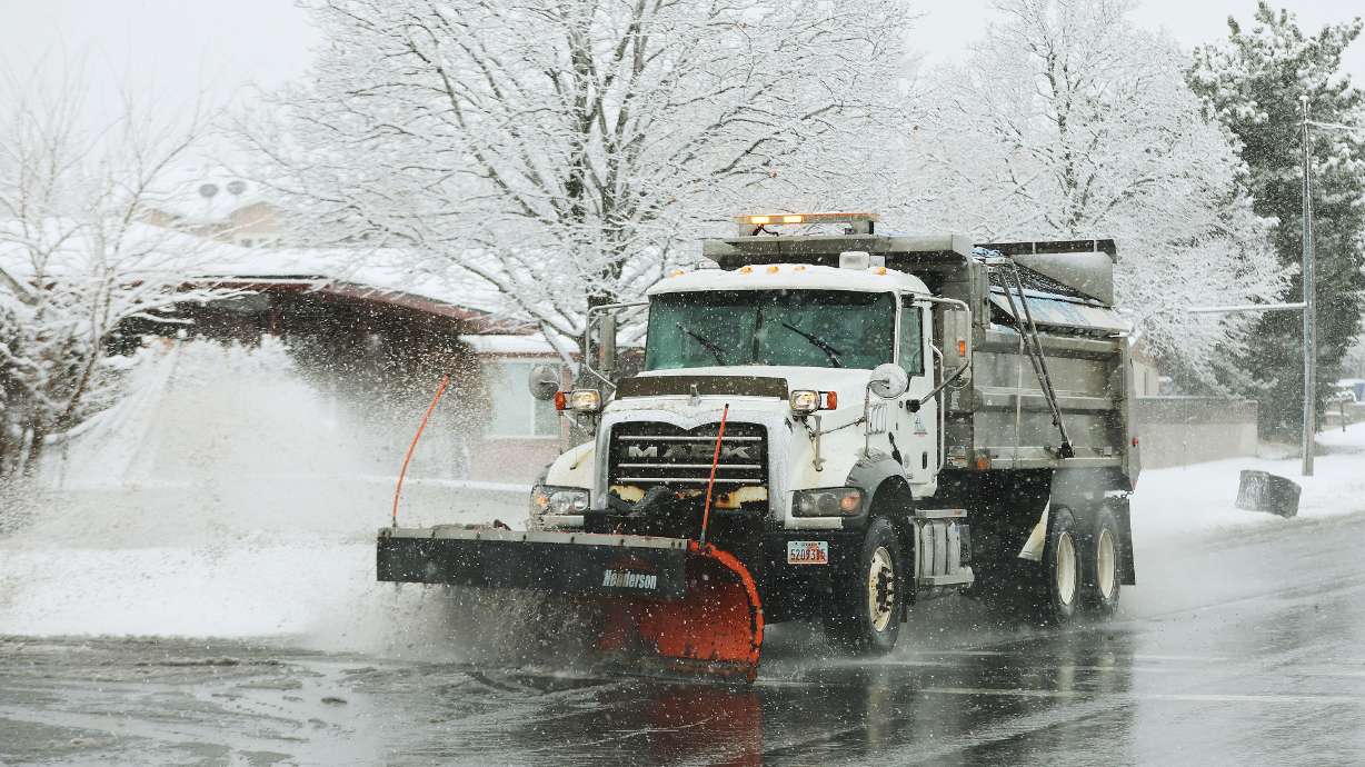
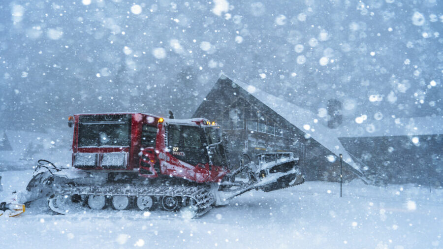
A snowplow clears the road in Cottonwood Heights on Feb. 9. An incoming storm is expected to provide heavy mountain snow and possibly some valley snow accumulation. (Jeffrey D. Allred, Deseret News)
(Jeffrey D. Allred, Deseret News)
SALT LAKE CITY — Scores of people flocked to Salt Lake City’s parks over the weekend to enjoy the warm before the storm, as temperatures reached 63 degrees on Sunday.
But more winterlike conditions are on the way.
The National Weather Service issued a winter storm warning Monday for the Wasatch, West Uinta, Wasatch Plateau/Book Cliffs and central mountains, where 1 to 2 feet of snow are possible over the next few days, along with strong winds.
The agency also issued a flurry of winter weather advisories for the Abajo, La Sal and southern mountain ranges, which are forecast to receive up to a foot of snow. Several valley communities could also end up with a few inches of snow.
Storm timing
Mild and windy conditions are in Monday’s forecast as the next storm arrives later in the day. The weather service issued wind advisories for parts of northwest, central and southern Utah, where gusts of up to 50 to 55 mph are expected Monday and Tuesday.
The latest storm is coming to Utah from the northwest, producing some scattered rain and snow showers across northern Utah on Monday afternoon ahead of the cold front, says KSL meteorologist Matt Johnson. Those will begin to increase in intensity Monday evening and night as the cold front enters the state.
Valley rain is expected to switch over into snow as the cold front moves through the state. While the cold front is also forecast to move fairly quickly Monday night and Tuesday morning, Johnson notes that additional snow showers are expected for Utah’s northern half behind the cold front Tuesday morning and afternoon.
👀Cha cha cha changes…
❄️A myriad of headlines will go into effect as early as 5 am Monday. Monday's summary of headlines are noted on the left w/ Tuesday's on the right. #UTwx #WYwx
For details for every product issuance, please visit https://t.co/0nR6D6NLSu pic.twitter.com/nZQPn4aLj5
— NWS Salt Lake City (@NWSSaltLakeCity) February 25, 2024
Mild and dry conditions are forecast to return to Utah to close out the workweek before the next storm arrives this weekend, bringing more rain and snow.
Snow accumulations
The weather service’s winter storm warning lasts from 11 a.m. Monday through most of Tuesday. Those state:
- 8 to 16 inches of snow are forecast for the Wasatch, West Uinta, Wasatch Plateau/Book Cliffs ranges. Higher totals of snow are possible in the Upper Cottonwood Canyons. Wind gusts may also reach 60 mph by exposed ridgelines.
- 1 to 2 feet of snow are forecast for the central mountains. Wind gusts may also reach 60 mph by exposed ridgelines.
Most of the advisories begin Monday afternoon or night and last through Tuesday afternoon and offer a wide range of snow projections over the next two days:
- 6 to 12 inches of snow are forecast for the Abajo, La Sal and southern mountains, though accumulations could reach up to 18 inches in the Tushar range. Wind gusts of up to 55-60 mph are forecast for these areas, as well.
- 2 to 8 inches of snow are forecast for the Wasatch Back, including Heber City, Huntsville and Park City.
- 1 to 4 inches of snow are forecast for the Wasatch Front, Cache, Sanpete and Tooele valleys, as well as several communities across central and southwest Utah.
However, it’s also possible valley communities may only end up with a trace of snow, if any at all. The speed of the storm will likely determine final accumulations. Higher snow projections were initially forecast ahead of the incoming storm, but Johnson said those have decreased because it’s now looking like a “quick mover.”
He adds that the storm is looking like it has the potential to deliver 0.10 to 0.30 inches of precipitation along most communities and up to an inch in the mountains, meaning that it wouldn’t bring as much water as other storms this month.
Storm impact
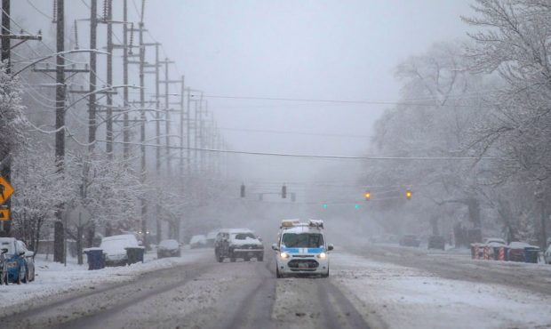
Drivers should use “high” caution while traveling on mountain passes across northern Utah, Utah Department of Transportation officials wrote in a road weather alert ahead of the storm. “Moderate” caution is expected throughout the valleys included in the winter weather advisories, especially Monday night and Tuesday morning.
Road Weather Alert: Cold Front With Snow & Ice Monday Night Into Early Tuesday Morning. For more information, please visit: https://t.co/QrWh3RKePZ #utwx #utsnow @UtahTrucking pic.twitter.com/uLGSyQgdV0
— UDOT Traffic (@UDOTTRAFFIC) February 26, 2024
Motorists are urged to slow down and drive carefully. Traction laws may be enforced at times along some mountain roads over the next two days.
Utah Avalanche Center experts say the state’s avalanche risk may rise with the storm, as it brings a mix of new snow and high wind speeds.
While potentially not as powerful as initially forecast, it will also likely boost Utah’s snowpack as it nears the seasonal average. Utah’s statewide snowpack entered this week at 115% of the median average for this point of the year and 86% of the state’s annual median average.
Full seven-day forecasts for areas across Utah can be found online, at the KSL Weather Center.


