WEATHER ALERT: Snow, high winds returning to Utah
Mar 12, 2024, 4:59 PM | Updated: Mar 13, 2024, 10:14 am
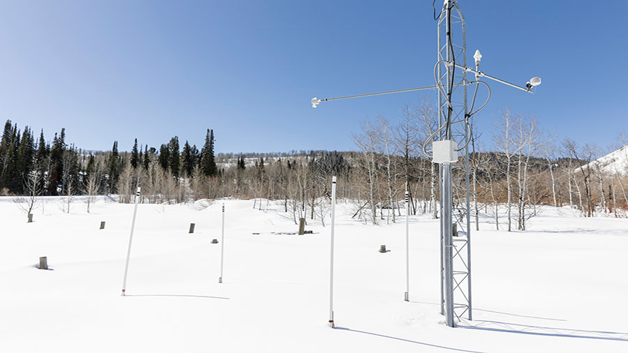
The Tony Grove Ranger Station Snow Telemetry (SNOTEL) Network is seen in Logan on Friday, March 8, 2024. SNOTEL sites collect snowpack and related climatic data. More snow followed by high winds are expected through Thursday. (Marielle Scott, Deseret News)
(Marielle Scott, Deseret News)
SALT LAKE CITY — The National Weather Service said we are in for a one-two weather punch including snow and high winds along Utah this week.
The weather service issued winter weather advisories ahead of a storm moving in Tuesday and a high wind watch for Thursday and Friday.
Potential for lake effect snow
The winter storm is predicted to bring a foot of snow or more.
2:30 pm – This evening, the passage of a frontal boundary has a chance for bringing Utah a high impact, heavy snowfall event to valley floors. More than likely, rain is forecast in the valleys but all should be prepared for the potential of both scenarios. #UTwx #WYwx pic.twitter.com/pxafbP6yR3
— NWS Salt Lake City (@NWSSaltLakeCity) March 12, 2024
“The passage of a frontal boundary as a chance for bringing Utah a high impact, heavy snowfall event to valley floors,” the National Weather Service stated in a tweet. “More than likely, rain is forecast in the valleys but all should be prepared for the potential of both scenarios.”
KSL meteorologist Devan Masciulli said the precipitation will begin Tuesday. The showers are expected to begin in northwest Utah and trickle down to other parts of the state throughout the rest of the day, even reaching southern Utah.
As winds shift out of the northwest, snow accumulations downwind of the GSL and Utah Lakes are possible through tomorrow. Travelers tomorrow morning should be prepared for snow hazards. #UTwx #WYwx pic.twitter.com/s0bQDIYZi4
— NWS Salt Lake City (@NWSSaltLakeCity) March 12, 2024
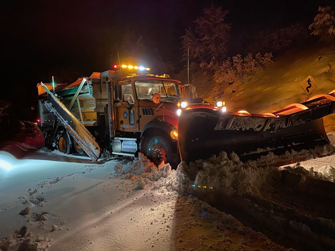
The weather service’s advisories are expected to remain through Wednesday afternoon. The advisory stated that six to 12 inches of snow is expected for the mountains across the state; however, the Cottonwood canyons within the Wasatch Mountains and the Tushar Range near Beaver may end up with totals closer to 15 to 18 inches.
“Winter driving conditions can be expected especially over the passes and summits,” the agency wrote.
The wind
Once the snow clears the high winds will move into the state.
The National Weather Service wind watch called for strong down-sloping winds along the Wasatch Front – especially the canyon mouths.
“The highest probability is from Ogden to Bountiful where a high wind watch has been issued,” the tweet stated.
If you live along the northern Wasatch Front, be aware there is a 60% chance of a moderate to strong downslope windstorm Thursday/Friday. The highest probability is from Ogden to Bountiful where a high wind watch is in effect #utwx pic.twitter.com/a25KfeyAXh
— NWS Salt Lake City (@NWSSaltLakeCity) March 12, 2024
Utah’s snowpack
Utah’s average mountain snowpack reached 16 inches of snow water equivalent on Friday, matching the average snowpack collection for the past few days. That means anything more, such as this week’s storm, makes 2024 another above-average season.
State and federal experts noted last week that Utah’s “great” February put Utah’s supply in a “good position” for when the snowpack begins to melt, which happens around early April on average.
“With the historic 2023 winter barely in our rearview mirror, it’s outstanding to see this winter come through with above-normal conditions,” Jordan Clayton, a hydrologist for the Natural Resources Conservation Service, wrote in a report.


