‘It Is Quite A Storm Coming In’: Rain, Snow, Wind Expected
Apr 9, 2019, 11:29 AM | Updated: 1:09 pm

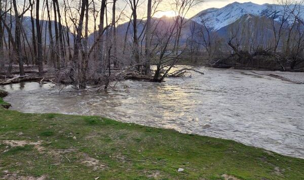
SALT LAKE CITY, Utah – Rain. Snow. Wind.
“It is quite a storm coming in,” said KSL TV meteorologist Grant Weyman.
Weyman said northern Utah should expect heavy rain and thunderstorms Tuesday afternoon. Areas in Weber County were already seeing rain as of 11 a.m., and the storm is expected to move over the Salt Lake City area by 2 p.m. and hit Utah County by 5 p.m.
The rain will mix with snow overnight in some areas, Weyman said, and will likely accumulate.
Expect SNOW in many areas including the valleys…. as early as tonight. pic.twitter.com/8QxsHkOVaF
— Grant Weyman (@KSLweyman) April 9, 2019
He said this storm could be similar to the last one, with wet snow that has the potential to build up on tree branches. Residents along the Wasatch Front should plan accordingly.
The northern valleys could get up to 3 inches of snow by Thursday morning, and the benches could see up to 9 inches. All the precipitation will also be paired with winds of between 20 – 30 miles per hour, and gusts of up to 50 miles per hour.
“This is the time to batten down the hatches,” Weyman said. “The winds are definitely going to be picking up.”
The storm will likely affect the afternoon commute Tuesday as well as morning commutes on Wednesday and Thursday.
There’s a road weather alert issued for Tuesday through Thursday, KSL TV’s traffic specialist Haley Smith said. Drivers are urged to plan for extra drive time in the mornings, and if they can take public transportation, they should.
KSL TV will have team coverage as the storm progresses.