UDOT plow drivers prepare for statewide snow in the mountains
Oct 21, 2022, 5:15 PM | Updated: Oct 24, 2022, 11:41 am

SALT LAKE COUNTY — Serious weather watchers in Utah have had their eyes on an incoming storm for more than a week. Meteorologists at the Utah Department of Transportation are also monitoring the storm for their snowplow drivers. They expect to start clearing snow Saturday evening.
The first winter storm of the season is a reminder that winter driving can arrive quickly.
“It’s crazy to think that we’re already talking about snow right now when we’ve had such warm days,” said UDOT spokesman John Gleason.
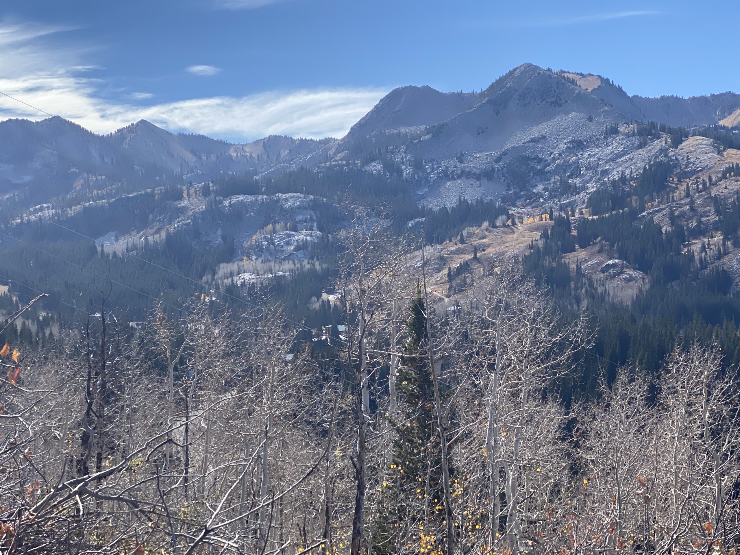
It was nearly 60 degrees Friday in Brighton at the top of Big Cottonwood Canyon, with hardly a hint of a storm.
“We’re quickly going to be reminded of winter,” Gleason said.
UDOT plow crews are ready for a rapid change in road conditions.
“The concern starts tomorrow evening around 6 p.m. in the Parleys Canyon area where we’re going to see up to 4 inches, maybe even a little bit more,” Gleason said.
Gusty winds could also blow snow around and make visibility difficult. Guardsman Pass at the top of Big Cottonwood Canyon is slated to close Saturday night at 10.
Up in the Cottonwood canyons, UDOT meteorologists expect 8 to 10 inches. KSL TV meteorologists expect even more.
“Sometimes we’re a little more conservative, and there is that potential that we could see a foot or more,” Gleason said.
How much of the snow actually sticks to the roads remains to be seen.
“The road temperatures are still warm right now,” Gleason said.
It may only rain in the valleys, but it could be slushy at times at the top of Parleys Canyon and other high-elevation passes.
“Slush and any type of precipitation is something you have to pay close attention to,” Gleason said. “Slow down and drive for those conditions and make sure your car is ready to go.”
This isn’t just a Wasatch Front storm; plows will be working on high-elevation roads throughout the state.