More snow on its way to Utah; Code Blue Alert activated for much of the state
Jan 6, 2024, 8:03 PM | Updated: 9:14 pm
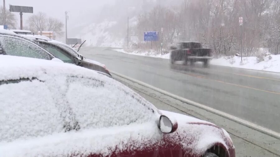
(FILE) - Cars on a snowy road in a canyon. More snow is on its way to Utah on Saturday night. (KSL TV)
(KSL TV)

SALT LAKE CITY — The next round of snow is approaching from the west and will reach the Wasatch Front by late Saturday evening. Late Saturday night, a Code Blue Alert was issued for 18 counties in the state.
According to KSL meteorologist Kristen Van Dyke, snow will develop overnight and continue through Sunday morning. By Sunday afternoon, the snow will begin to wind down, and cold air will settle in.
Van Dyke says to only expect highs in the high 20s to low 30s on Sunday. That night the lows could drop into the teens.
Snow totals
Van Dyke says to expect 2 to 5 inches of snow along the Wasatch Front and 8 to 14 inches of snow in the mountains.
Areas along Interstate 15 in southern Utah could see 2 to 4 inches of snow, according to Van Dyke.
Van Dyke also says a dusting to 1 inch of snow is possible for St. George.
Monday is expected to be dry, but cold.
Code Blue Alert
With the incoming cold temperatures, the Utah Department of Health and Human Services issued a Code Blue Alert for 18 counties in Utah. Those counties are:
- BoxElder
- Cache
- Carbon
- Davis
- Duchesne
- Iron
- Juab
- Millard
- Morgan
- SaltLake
- SanJuan
- Sanpete
- Sevier
- Summit
- Tooele
- Uintah
- Utah
- Wasatch
A Code Blue Alert is activated when the National Weather Service predicts that the temperature will reach 15 degrees Fahrenheit for two hours or longer over a 24-hour period.
Utah shelters prepare to take in more people under Code Blue protocol