One storm done, several more storms to come this week
Jan 7, 2024, 6:02 PM | Updated: Jan 8, 2024, 6:22 am
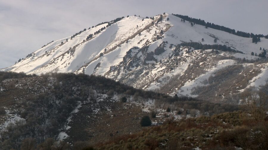
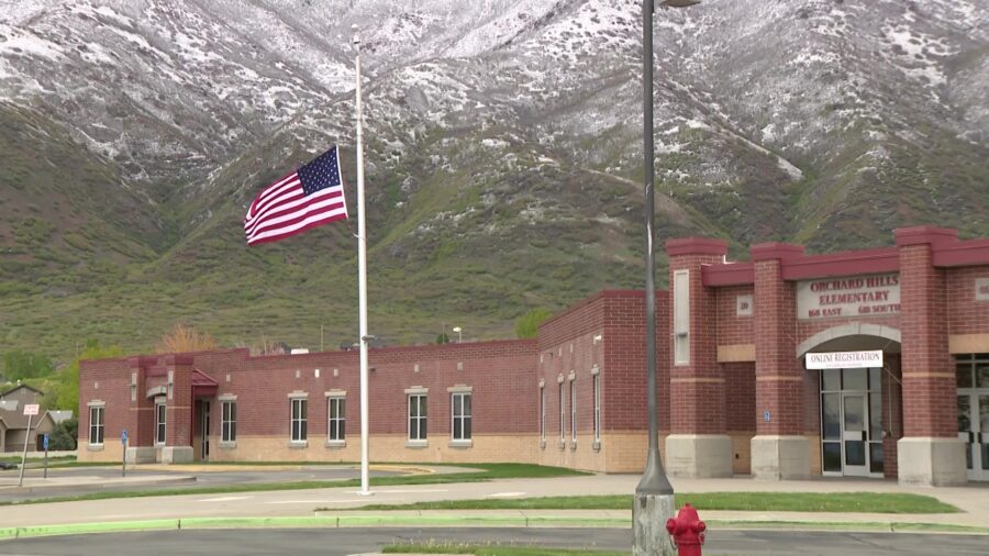
The mountains covered in snow in northern Utah. Over the next few days, a series of storms will bring more snow to Utah mountains, both in the north and the south. (KSL TV, Mike Anderson)
(KSL TV, Mike Anderson)
SALT LAKE CITY — The weekend snowstorm that moved through Utah left much of the state covered in snow. However, more storms are on the way.
According to KSL TV Chief Meteorologist Kevin Eubank, many mountain locations received between 8 and 14 inches of snow from the weekend storm. Valley locations got between 2 and 4 inches of snow.
Eubank said a few lake effect bands can be expected through Monday morning. While Monday will be dry, expect cold conditions. Eubank said Monday’s high will be in the 20s, while the low will be in the teens.
More storms coming
According to the KSL Weather team, additional accumulating snow will be coming to the valleys of northern and central Utah on Tuesday. Snow is expected each day through the remainder of the week.
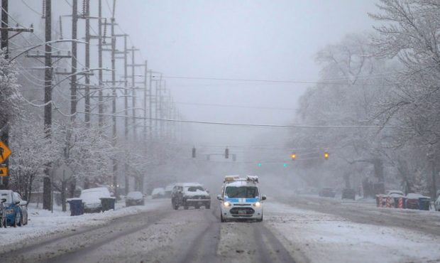
The KSL Weather team says it won’t snow all day every day. However, snow is expected each day and will impact the commute.
Additionally, each storm has the potential to produce 1 to 3 inches of snow in Salt Lake City, and possibly 10 to 16 inches of snow over the next week.
Mountain snow
The KSL Weather team says the mountains in northern and central Utah will continue to get hit hard with snow. Due to the cold temperatures, this will produce light, powdery snow.
This will create three problems:
- Due to increased traffic to the resorts, slide-offs will increase.
- The light snow will be blown around in the mountains, making for hazardous travel conditions.
- Snow and wind conditions will increase the danger of avalanches.
Cold temperatures
Temperatures will be running five to 10 degrees below normal this week. The mountains will see highs in the teens and lows in the single digits or below zero.
More snow on its way to Utah; Code Blue Alert activated for much of the state


