More snow coming to the mountains, valley to receive rain
Jan 20, 2024, 2:44 PM
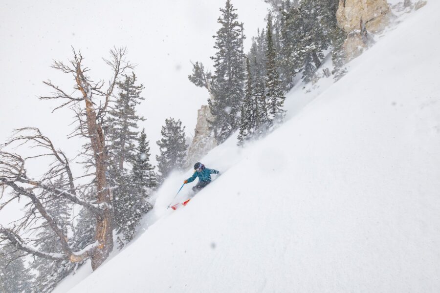
The mountains covered in snow in northern Utah. Over the next few days, a series of storms will bring more snow to Utah mountains, both in the north and the south. (KSL TV, Mike Anderson)
(KSL TV, Mike Anderson)

SALT LAKE CITY — While the state has seen a break in the snow the past couple of days, more snow is on the way to the state, at least for the mountains.
The KSL Weather Team says the West is experiencing a new weather pattern, similar to the one the state experienced in December. The Weather Team also says that a broken line of showers have moved into Utah. The showers will bring light rain to the Wasatch Front and snow to the mountains by early Saturday evening.
The storm will move to the northeast and will be in southwest Wyoming by midnight.
The National Weather Service out of Salt Lake City says snow is expected above 6,000 feet. It also says motorists should expect travel difficulties for mountain routes in the area. Motorists are encouraged to use caution when traveling through higher elevation routes this weekend.
Mountain snow is on the way! The 1st in a series of Pacific storm systems will move through Saturday through Sunday morning, bringing valley rain with snow above 6-7kft. Additional storms will follow through at least early next week. #utwx pic.twitter.com/GExDzuTCjL
— NWS Salt Lake City (@NWSSaltLakeCity) January 20, 2024
The NWS says 5 to 10 inches of snow is likely in the mountains through Tuesday morning.
But that’s not all…
The KSL Weather Team says a second round of storms will arrive in southern Utah by Sunday morning. The storm will bring rain to the lower elevations and snow to the mountains.
As the day goes by Sunday, the storm will taper off and will advance to the East. Southern Utah will continue to see a chance for rain and snow through Tuesday.
Despite the improved weather, avalanche danger still exists, experts say