Rain, snow and avalanche danger continue through the weekend
Dec 28, 2022, 3:42 PM | Updated: Dec 29, 2022, 7:20 am
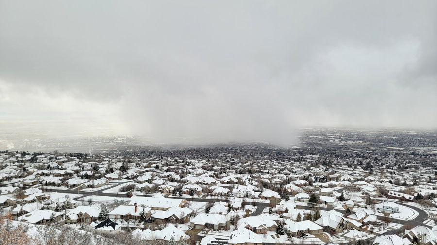
This image shows an incoming snow squall in North Salt Lake. (National Weather Service)
(National Weather Service)

SALT LAKE CITY — Utah’s snowy and wet winter will continue through this weekend.
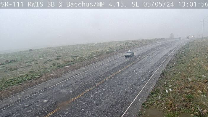
Utah can expect slick conditions across the Wasatch Front Wednesday.
“These rain and snow showers will taper off as the day progresses, temps top out in the upper 30s,” KSL meteorologist Matt Johnson said. “Thursday looks to be an ‘in-between’ day, with snow moving in for Friday morning.”
He said some snow showers are possible starting around 5 p.m. Wednesday.
On Friday more rain is expected in the morning and it will turn into snow, but Johnson said that forecast could change.
❄️The next incoming winter storm is expected to impact Utah in a big way. Significant snow and water amounts are expected and major impacts are possible especially on New Year's Day. Snow accumulations of 1 to 3 feet of snow are forecast in the northern mountains. #UTwx pic.twitter.com/rKzamz20P2
— NWS Salt Lake City (@NWSSaltLakeCity) December 28, 2022
“The storm that’s set to impact Utah Friday, Saturday and Sunday, it’s kind of a disaster to try to forecast,” Johnson said. “It may start as snow, switch to rain then back to snow on Sunday. It all depends on those pockets of cold air and where they are. So right now a bit of a tricky forecast. Just expect windows of rain and windows of snow.”
He added the snow will be wet and heavy.
The National Weather Service said the storm will have a big impact.
“Significant snow and water amounts are expected and major impacts are possible, especially on New Year’s Day,” a weather service tweet said. “Snow accumulations of 1 to 3 feet of snow are forecast in the northern mountains.”
This snowstorm hitting Utah will deliver exactly what the statewide snowpack needs to help recover from the extended drought. Plus, there are a handful of days ahead with storms in the forecast.
Utah’s mountains need above-average snowfall and above-average snowpack this winter.
December has delivered the wet snowstorms that the state needs to build up snowpack, and ultimately recharge reservoirs in the spring.
The recent string of storms has also added to avalanche danger in Utah.
UDOT to close Little Cottonwood overnight as avalanche danger rises
Little Cottonwood Canyon was closed Wednesday morning as the Utah Department of Transportation mitigated the avalanche danger.
“When we have days like this where we know that the avalanche risk is high, we’re going to shut down the canyon and target those areas where we think that slides could happen, and bring them down while the canyon’s closed,” said John Gleason, public relations director at UDOT.
Gleason said crews fired a howitzer all through the night to break free the piled snow that posed an avalanche danger.
The goal was to make travel safe in Little Cottonwood Canyon.
However, the Utah Avalanche Center said the avalanche danger continues to be high in mountain areas from Logan south to Provo through Sunday.
Avalanche conditions will remain dangerous through the weekend with continued stormy weather.
— UtahAvalancheCenter (@UACwasatch) December 28, 2022
Utah ski areas benefited from the recent storms with Brighton getting 20 inches and counting.
Snowbasin, Deer Valley, Powder Mountain, Alta and Snowbird ski areas all reported more than a foot of new snow.
Several areas across Utah also saw some nice rain totals over night Tuesday.
Provo saw more than an inch of rain with several areas of the state also reporting more than half an inch.
KSL wants to see your weather photos like the one below. Send us what the weather looks like in your area as you see it here.
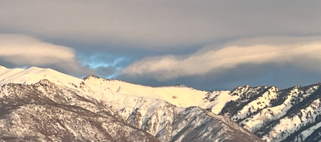
Gorgeous mountain canyon view from South Weber Utah. From Rick and Ann Lawrence on Dec. 5, 2022. (Rick and Ann Lawrence)